Hi Everyone.
This weekend was a hot one here in sunny Southern California. So what better excuse than to get the dogs in the truck, and head off on a new trail for some off leash fun.

After all the rain we had at the start of this year, our usual trail to take the dogs up, to allow them some freedom to roam and run is now inaccessible. There are a number of large dips in the first section of the trail, so deep our friend got his F-150 stuck there, after he got high centered. Now if he got stuck, there is no way I'm trying to get up there in my Suzuki Sidekick! So we needed a new trail to use, and one that is still local to us.
Tuesday night myself and 
I'd not been up this trail before, so if nothing else it was nice to explore somewhere new.

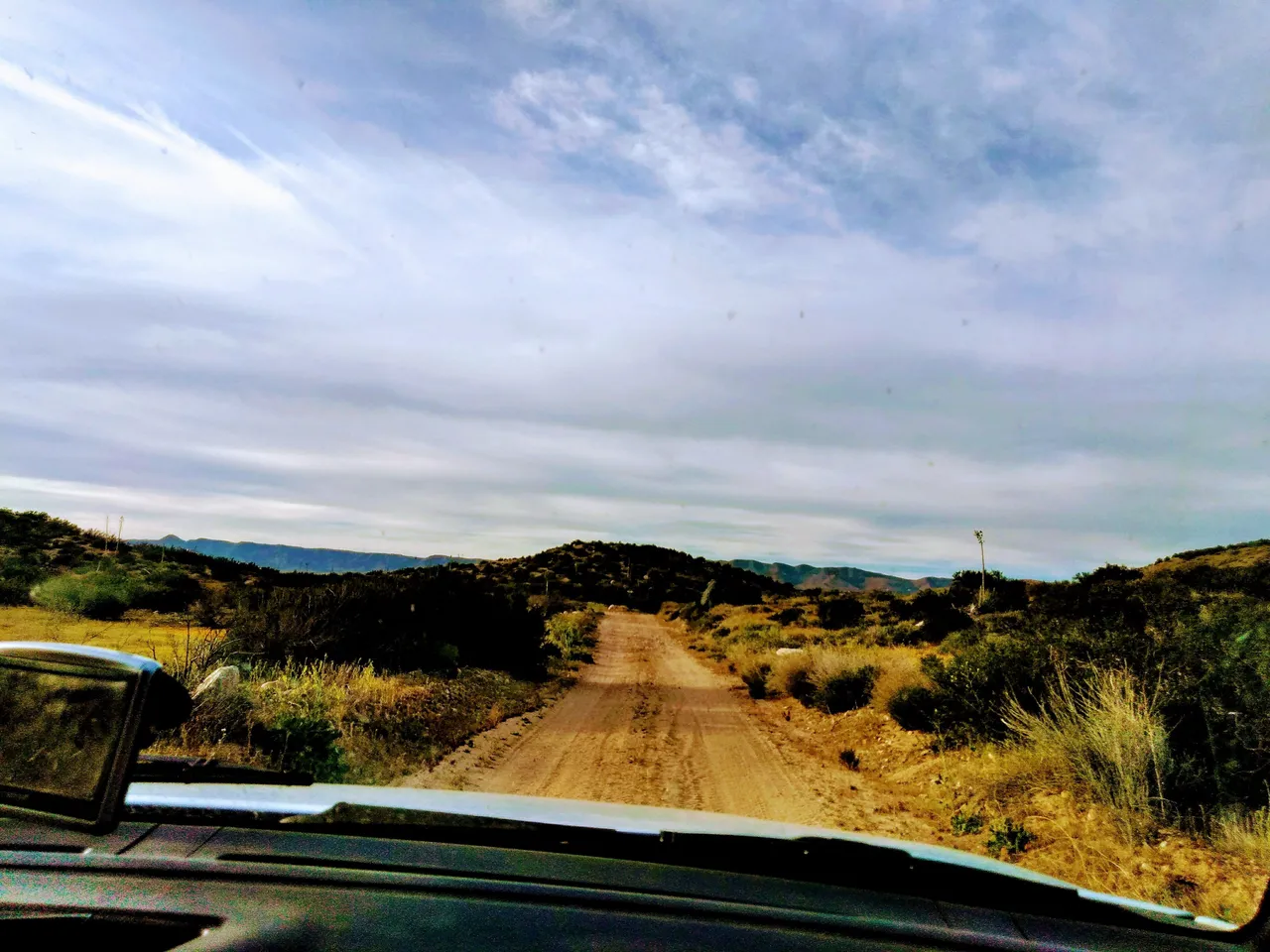
We started driving along the trail, following it up through the hills.
Here you can see the trail we have driven along, and if you look closely, you can see the freeway in the background:

The trail kept gaining elevation, and after all the rain, the vegetation here had grown, so the valley was a lush green rather than dry and dusty. Both the dogs were excited and had their heads out the windows the whole journey up the trail:

There were even colorful wild flowers growing at the side of the trail, creating a beautiful view:

As we traveled up the trail, 

He said this gate is usually closed, so he hadn't been up this trail either. Obviously we turned left here.
The trail wasn't in bad condition at all:

As we only had to use 4 wheel drive on one section:

due to the lose rocks and bumpy conditions. We continued on this trail for a few minutes, when it became very flat and open:
We saw a split in the trail up ahead, and decided this would be a good place to stop and let the dogs out. It was open all around so we would see (as well as hear) anyone coming up, and give us time to call the dogs back to us for safety.
I loved the yellow field that was to our left side:

and to our right, two more trails:

The dogs were enjoying themselves, roaming as usual. Buddy always likes to be close by:

While Happy runs as fast as she can in circles, then once her energy is out, she roams as well:

Both the dogs then started to eat the grass, like we had brought them to their own personal all you can eat salad bar:

Buddy eat so much grass, he was then sick....three times! Here he is eating grass (and getting told of for it), even though he was already sick once:

After being sick Buddy now wanted back in Sydney, as he was feeling sorry for himself.
Happy on the other hand was still roaming around:

By now the sun was starting to set:

and the temperature dropped, so we figured it was a good time to leave:

As we drove back down the trail, we both said how nice this area was, and this would be our new local off road spot to bring the dogs when they need to get their energy out. We also use these off road spots as an alternative to walking them in the rain. Usually these trails take you above the clouds, so they are a good place to bring the dogs when its raining so you aren't getting wet while giving them some exercise. But as this location didn't seem to be as high as the trail over at Palm Ave, we will have to wait for some rain to come back and find out for sure.
We got back on to the road as it started to get dark, and the cotton candy pink clouds created a colorful canvas out of the sky.

Thanks for reading and if you liked my post please remember to upvote it, and follow me so you don't miss out on my future content.

!steemitworldmap 34.2988629 lat -117.459076 long ´Cleghorn Ridge OHV Road 2N47, California´ D3SCR