This YouTube video was put together by a Yulin native, and has some very good drone video of different parts of the Yulin prefecture.

Wikipedia says this about his title screen (he uses the Chinese characters for the old name)
Yulin, Guangxi
Its Chinese name was changed in 1956 from the historical name 鬱林 (pinyin: Yùlín; literally: "Dense Forest"), which only sounds the same in Mandarin as the current one, but very different in the local dialect of Yue Chinese; 鬱 is uat˥ while 玉 is ȵok˨.
The present name is 玉林 Yùlín, which means, "Jade Forest".
A map of the Yulin prefecture from Wikipedia:

The area labeled "Yuzhou" is what is commonly referred to as "Yulin city".
Yulin and the surrounding area speaks its own Chinese dialect, known as Yulin-hua.
I have previously posted pictures from Rongxian, Beiliu, and Luchuan, and will continue to post pictures of other parts of Yulin as time permits.
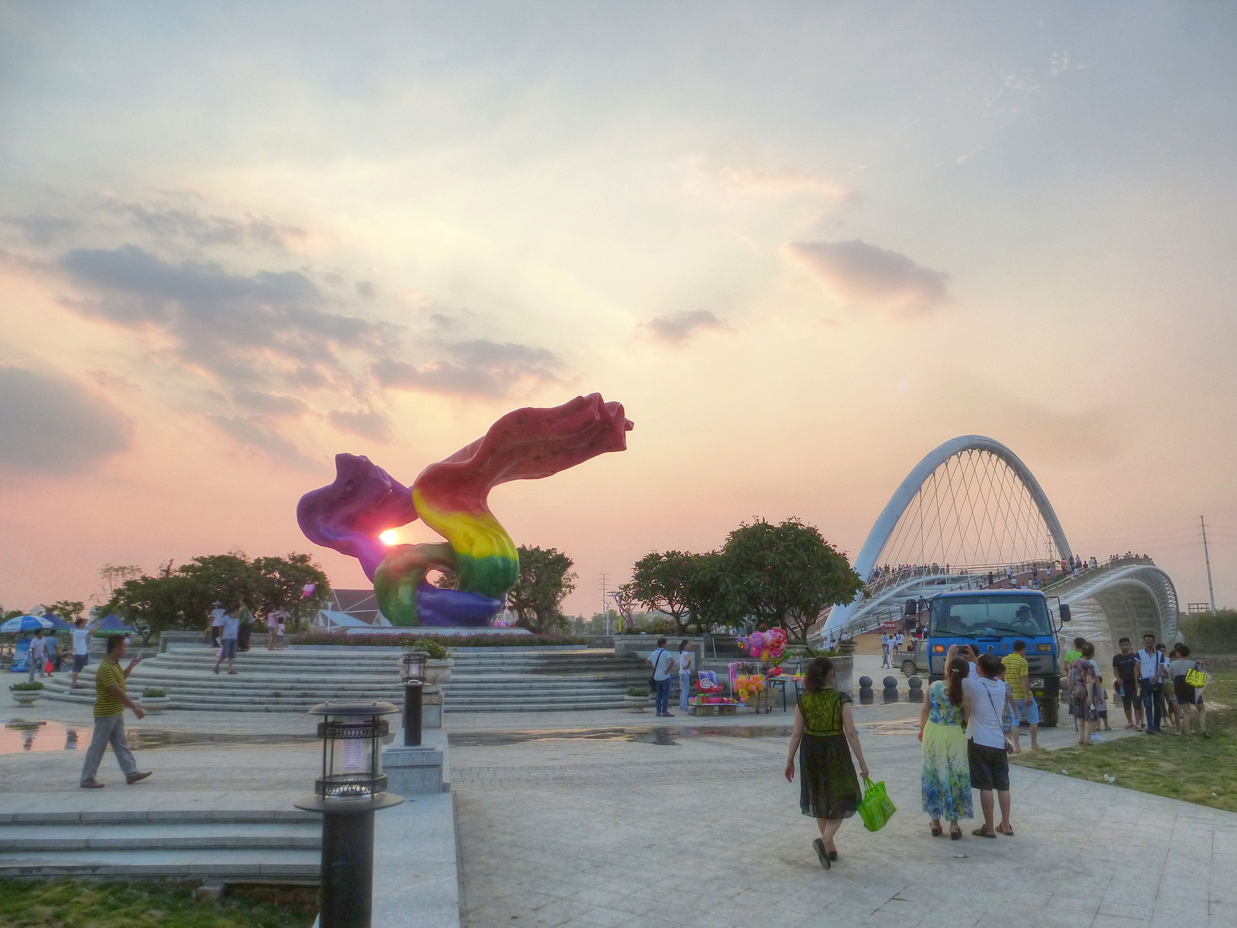
The following images are my own. Click on any image to enlarge.
For now, just a few more:
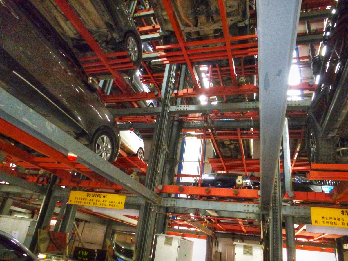
Vertical parking at the Traditional Chinese Medicine (TCM) hospital
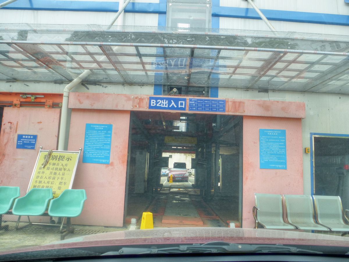
Cars are mechanically lifted to a spot in the steel girder building for their owner to retrieve later.
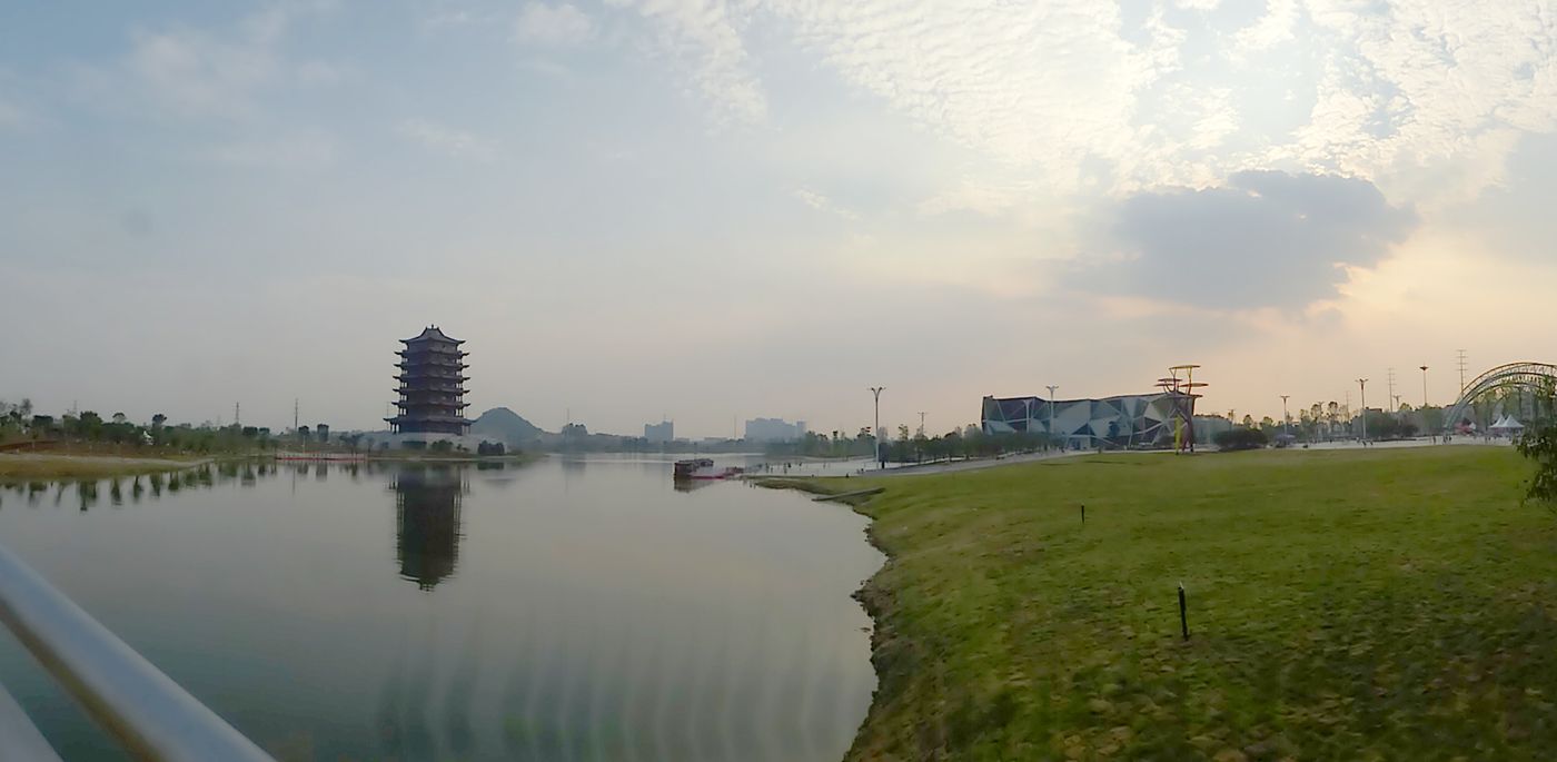
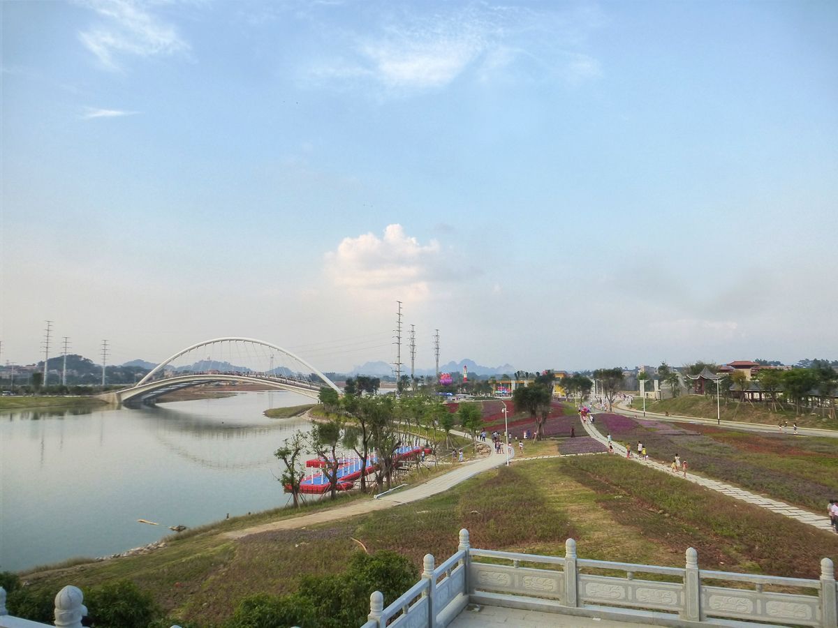
Yuan bo yuan, or Rich Garden
SteemIt World Map !steemitworldmap 22.6858645 lat 110.2400917 long D3SCR
#randyw

