First of all, I want to express my joy because I can participate in the Amazing Nature thematic contest this time which takes the theme of the view from above. The theme provides me with the opportunity to share what I have been able to observe on a trip to a promontory located on the coast of Aceh, the northernmost island of Sumatra in Indonesia. A promontory directly facing the Malacca Strait sea.

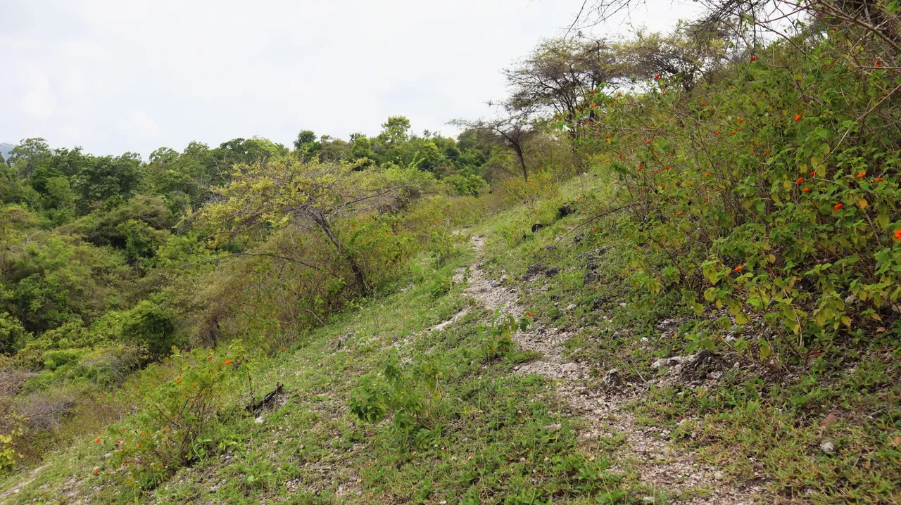
The cape which is located at astronomical location of 5 ° 36'46.25 "N 95 ° 31'56.26" E is part of the karst landscape that stretches across the northernmost coast of the island of Sumatra. On the left and right of this headland there is a bay, but I took a path on the right side of this headland to get to a place where I could observe the bay to the right of the headland. The path appeared white due to the coral fragments scattered over the ground. On average, the vegetation that grows there is thorny because the climate is warmer than in other areas. Only lantana camara and a few other shrubs can be seen blooming and decorating the headland's surface.


Arriving to the right of the promontory, I could already see the bay and another promontory on its eastern side. I continued along the cliff side along the path shooting towards the bay.


While walking, I found some interesting things such as coral and mollusk shells which I believe are part of marine life but have been lifted up and are now found at a fairly high elevation above sea level. Not only that, I also found there some ancient grave tombstones which were carved with unique carvings. It can indicate that this promontory or hill was inhabited by humans in the past.


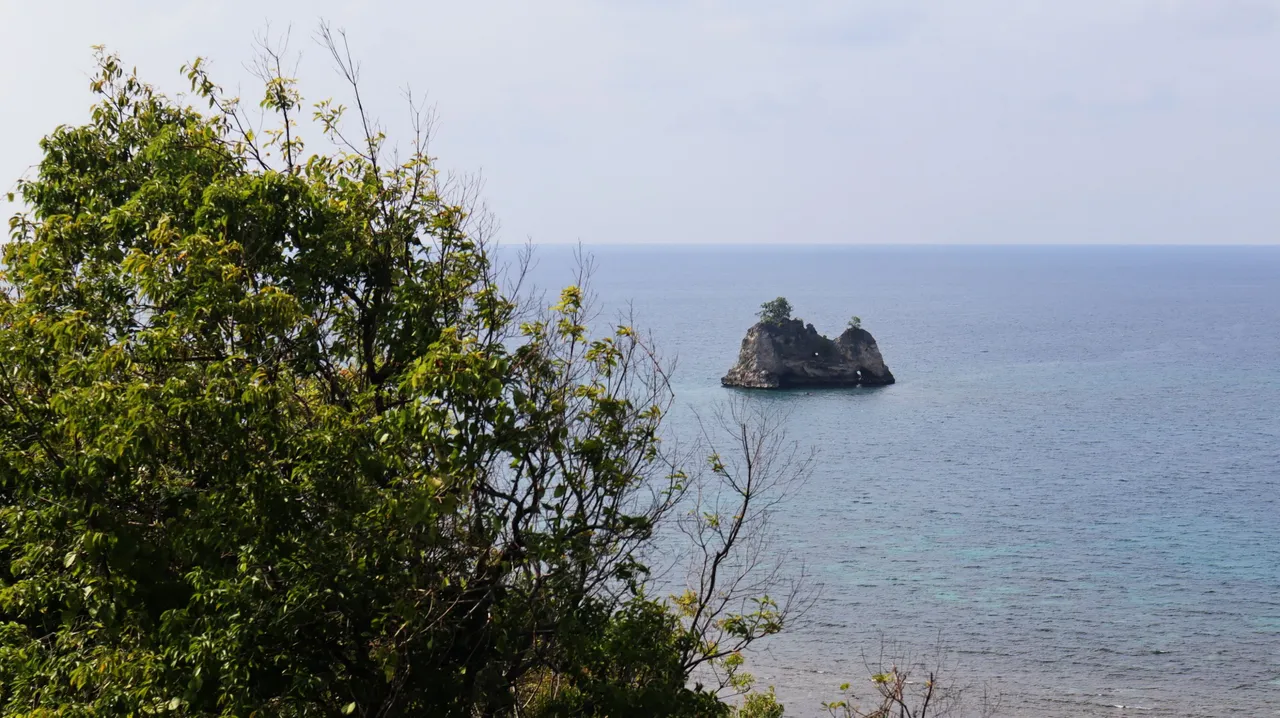
To the more northern part of this headland, I could already see a very small island which was a rocky hill. The people here call the rocky hill the island of Bate Kapai which means ship's stone island, because according to them, the rocky hill island looks like the shape of a ship. Because of that, the headland is called the ship rock cape. Meanwhile, another headland on the eastern side of the bay is called the Kelindu cape.


Upstream of the bay a river empties into the bay, almost directly in the middle of the bay, giving the coastline of the bay an interesting shape, like a stalk of fruit.


That is what I can share from what I was able to observe from above while I was on the headland. Thank you for the opportunity to enter this contest. Have a nice day for the Amazing Nature Community and travel enthusiasts.