I didn't hike much this year and I'm sure this hike will remain the longest I had in 2020.
From Sunrise till Sunset
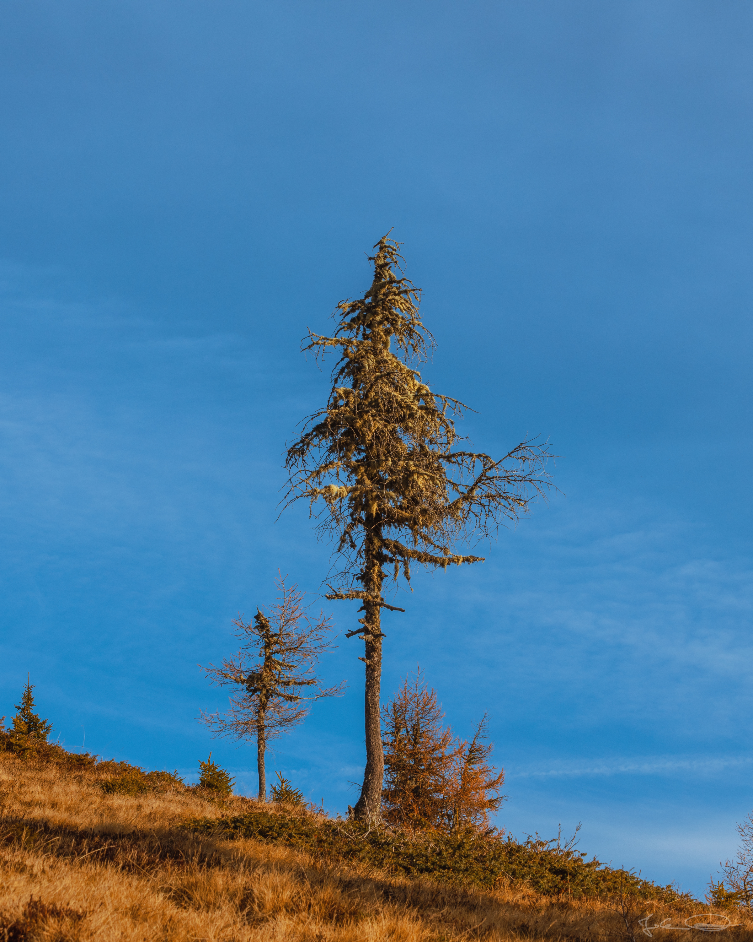
Mirnock Mountain Range . Carinthia

After an exhausting week at work I wanted to have a relaxing day in the mountains. Well, my plan has not been to hike that far, but after the first little peak I thought it's too early to turn back home and an hour later it was too late to turn back ;)
 ❖ please click the image for fullsize view ❖ |
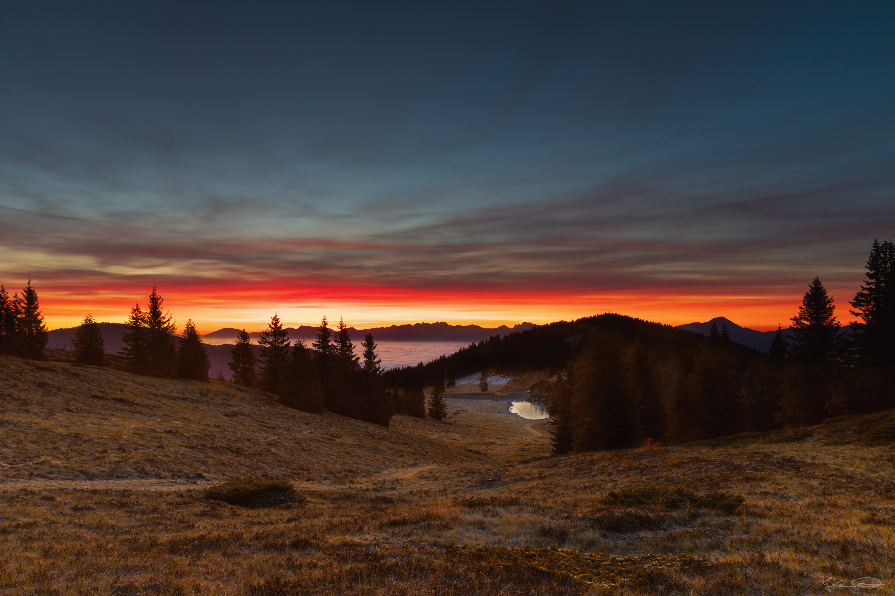
Bu tlet's start at the beginning ... I got up at 3:30 and when I arrived at the parking lot in Verditz, which has been a small ski resort till 2012, it was about 5:00 in the morning. Actually I only wanted to hike to the Schwarz See / Black Lake where I have been a couple of weeks ago, take a few sunrise shots and then hike to the next peak which is called Palnock (1.901 m / 6,236.88 ft) before I wanted to hike back down to the car.
 ❖ please click the image for fullsize view ❖ | 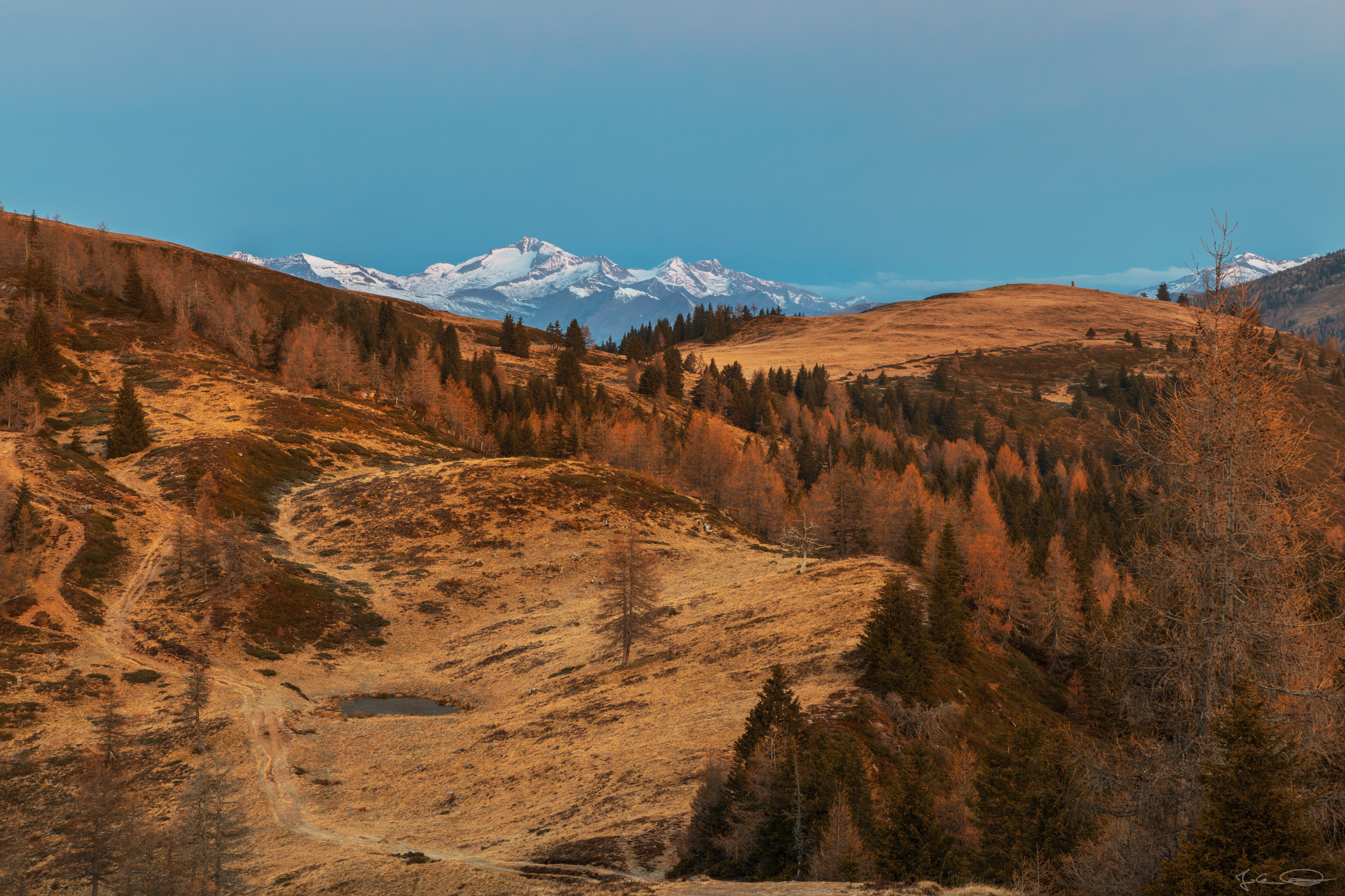 ❖ please click the image for fullsize view ❖ |
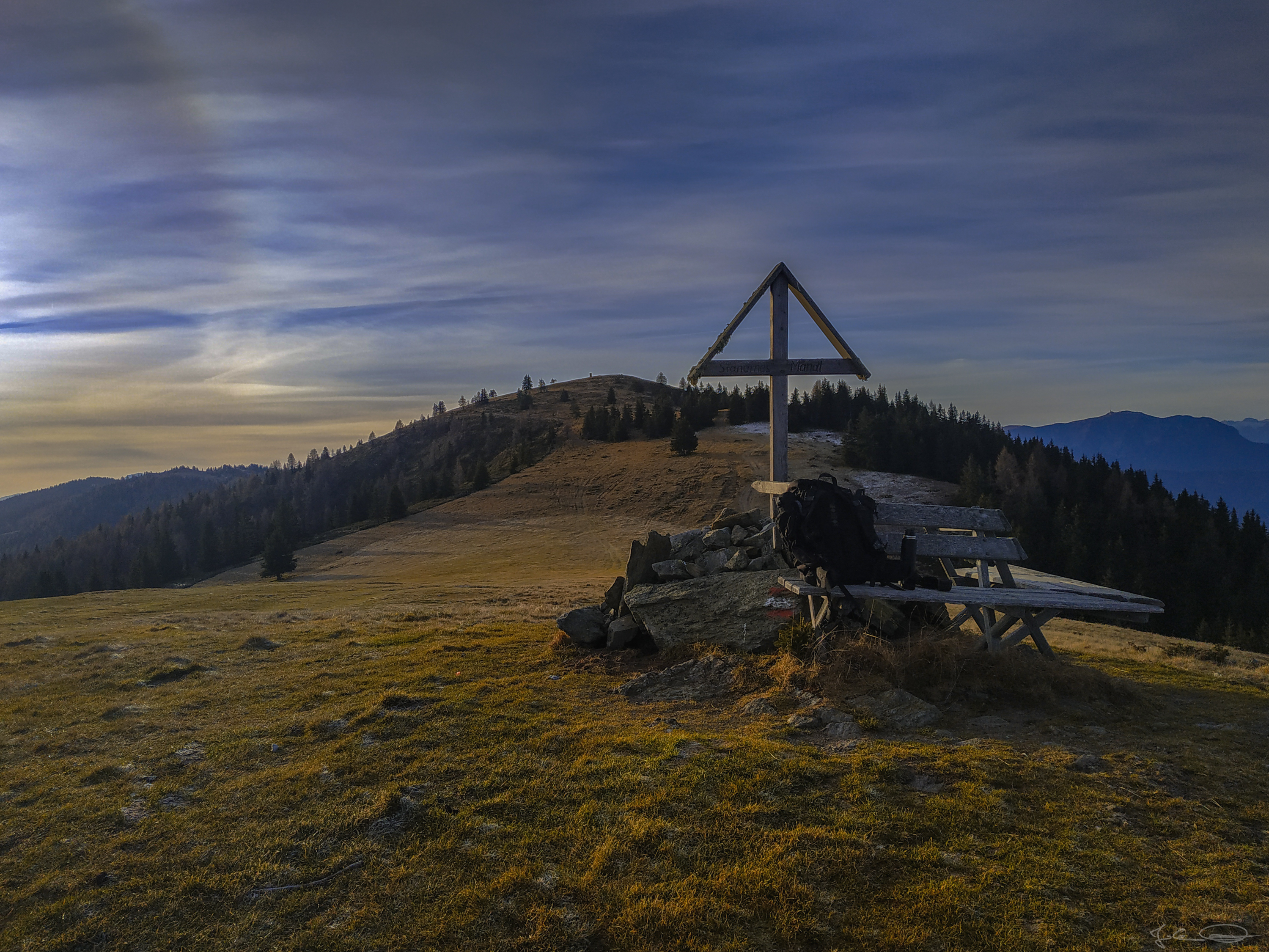
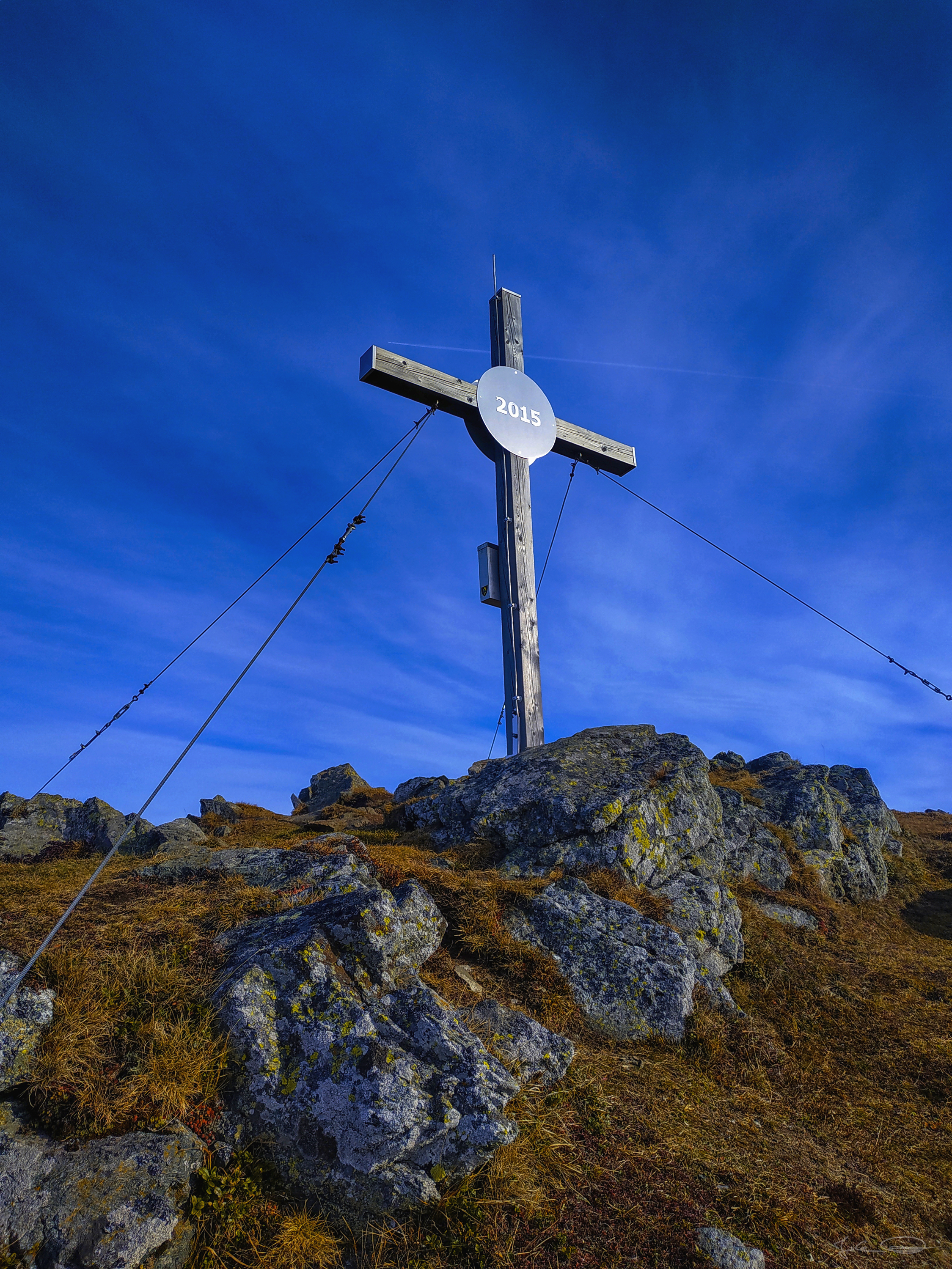
Behind the hill on the left side there's the peak of the Palnock. In the photo below you can see the quite unusual looking summit cross of the Palnock.
 ❖ please click the image for fullsize view ❖ |
 ❖ please click the image for fullsize view ❖ |
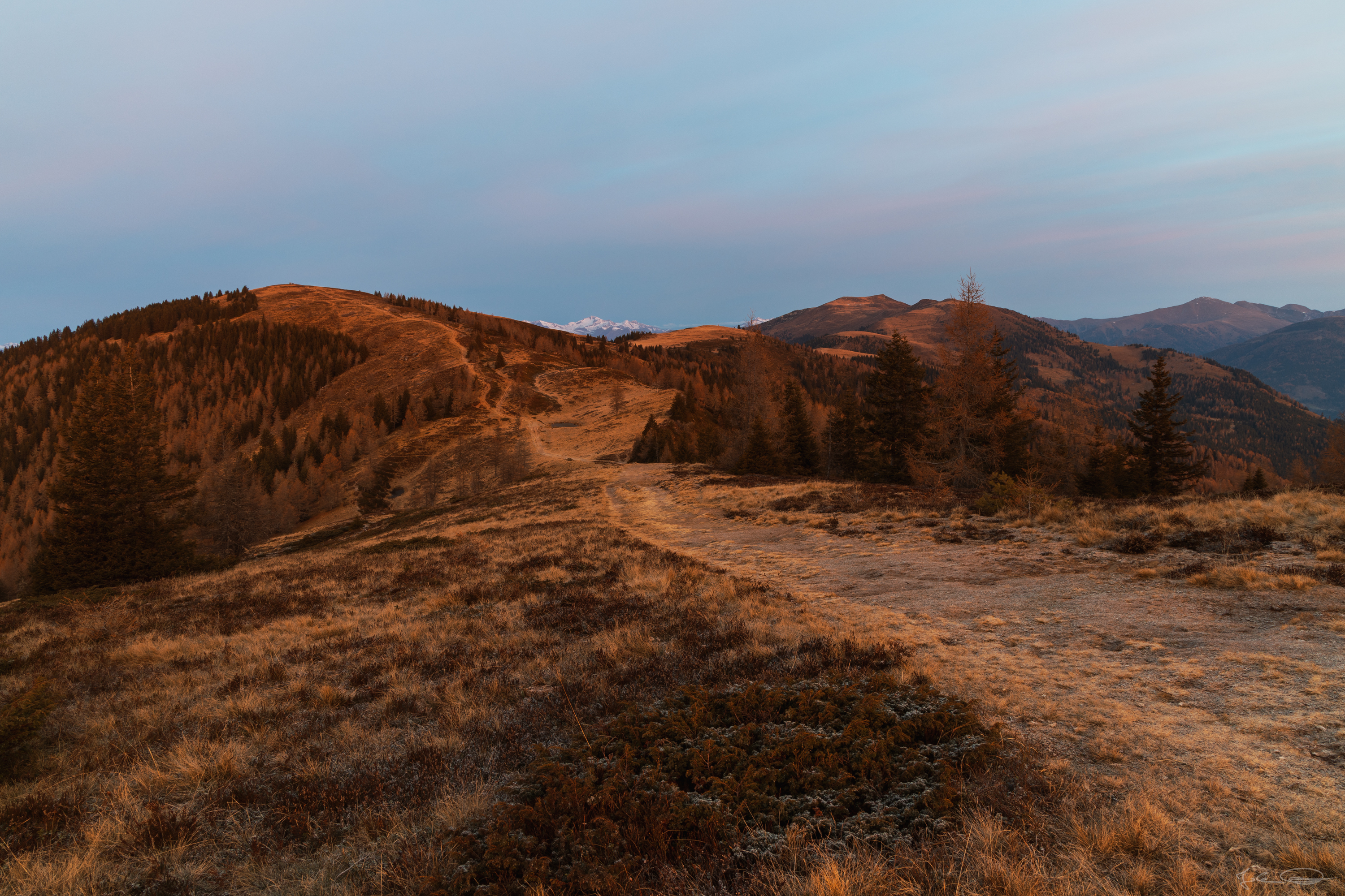
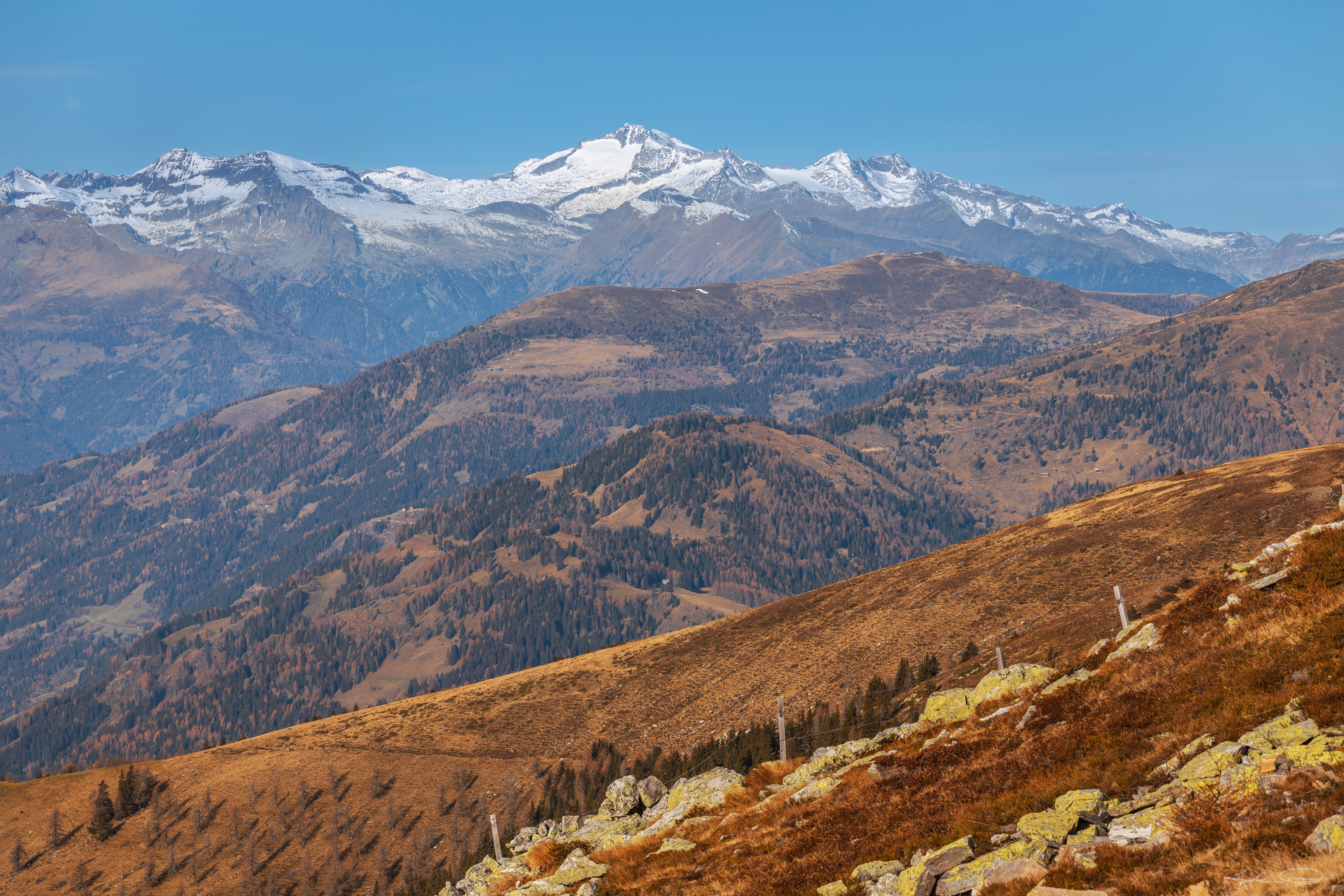
I have been too early at the lake for sunrise shots and when I got to the peak of the Palnock the sun has already risen. And from there I could see the peak of the Mirnock (2.110 m / 6,922.57 ft) which seemed to be quite close ... that's what I thought ;) It is the furthest peak in the photo above - looks close, doesn't it?
 ❖ please click the image for fullsize view ❖ |
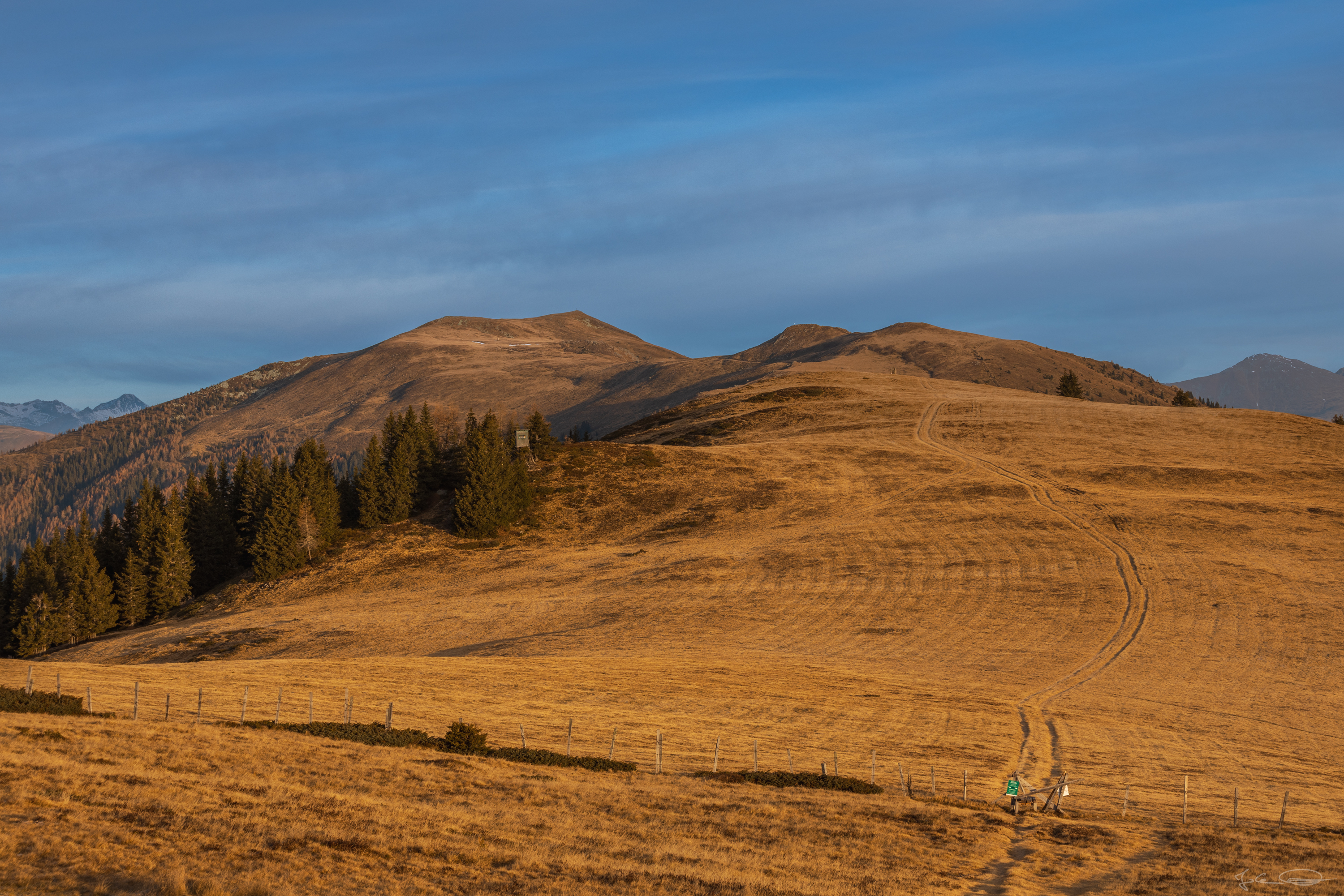
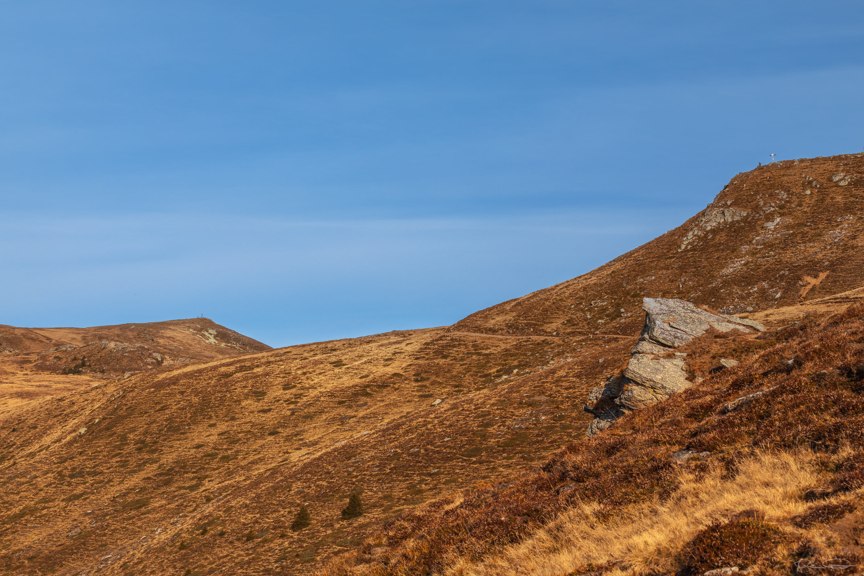
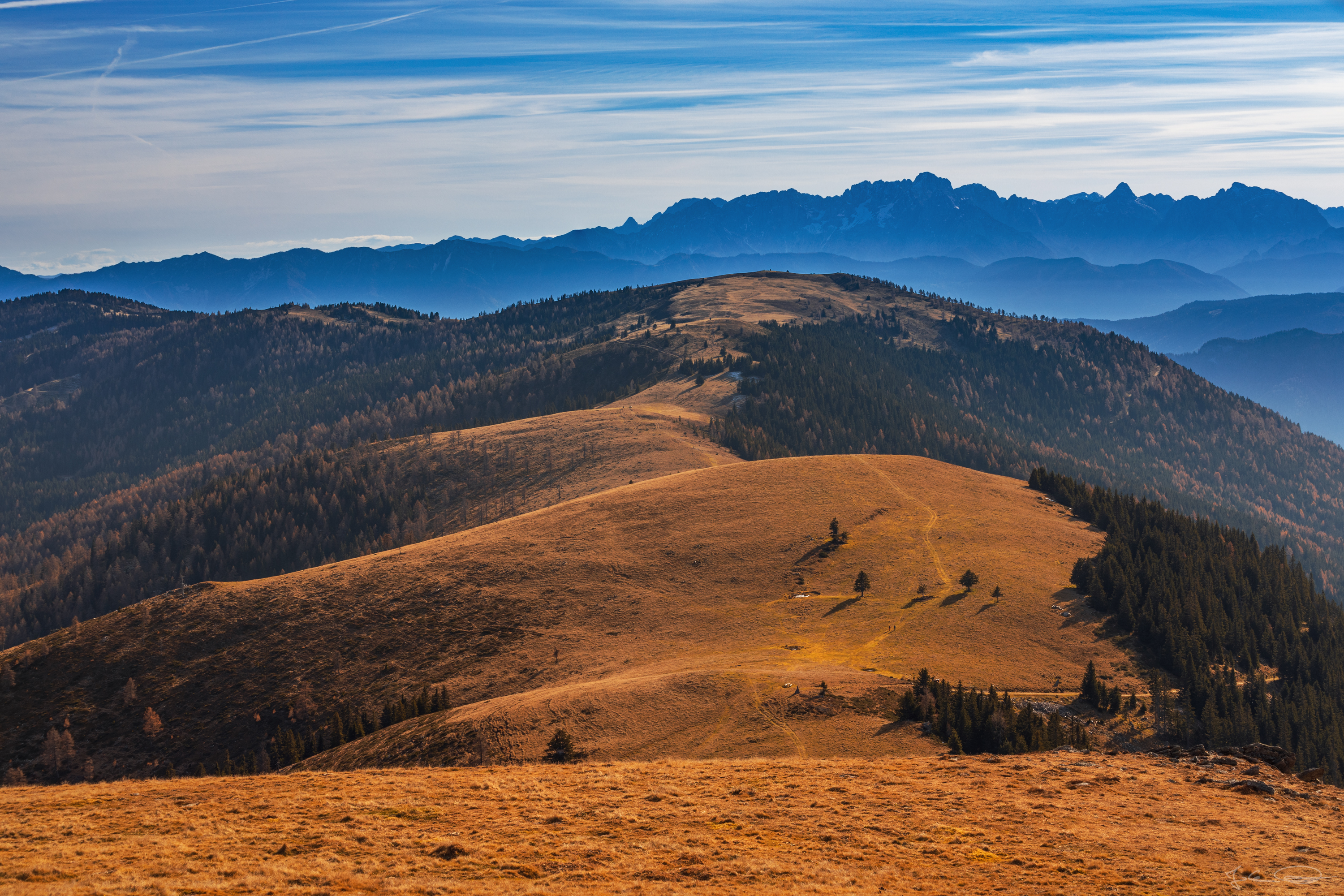
There have been quite a few nice places with benches to take a short break for a breather.
 ❖ please click the image for fullsize view ❖ |
About half an hour of quite comfortable downhill walking later, I saw a short but quite steep slope which I had to climb, and after this one was another one ... and another one - the photos don't show how steep it was in reality, honestly ;)
 ❖ please click the image for fullsize view ❖ |
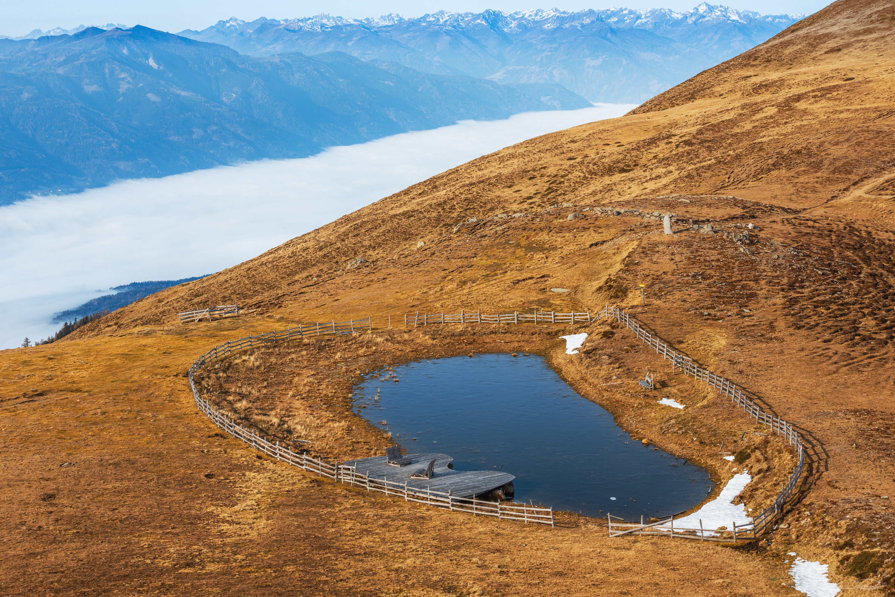
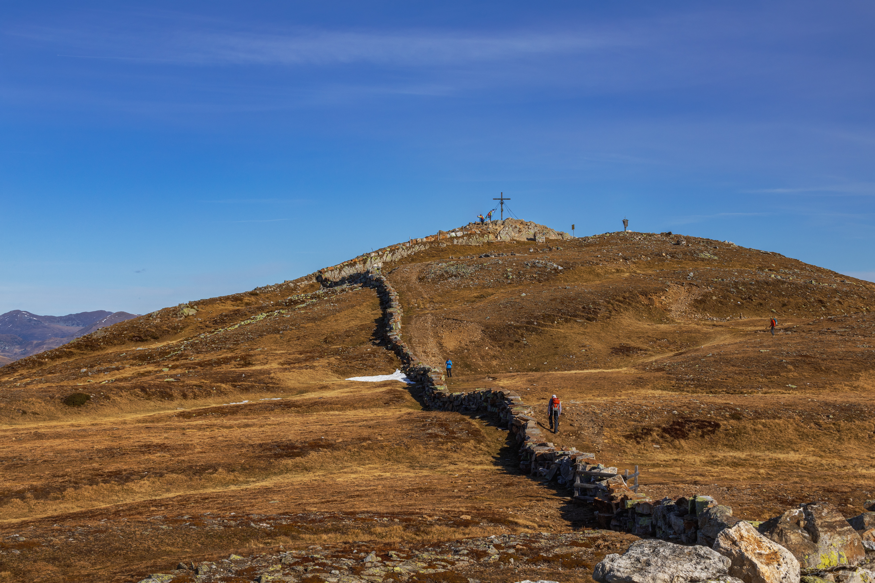
Of course, I didn't give up because of a slope and so I climbed a short time or better said about 1.5 - 2 hours later to the Rindernock peak (2.024 m / 1,257.65 ft) from where I had a very nice view. Down at the foot of this little peak there's a little pond with a wooden boardwalk and wooden deck chairs where you can have a rest and relax for a while after a long hike before you hike up to the next peak.
 ❖ please click the image for fullsize view ❖ |
 ❖ please click the image for fullsize view ❖ |
 ❖ please click the image for fullsize view ❖ |
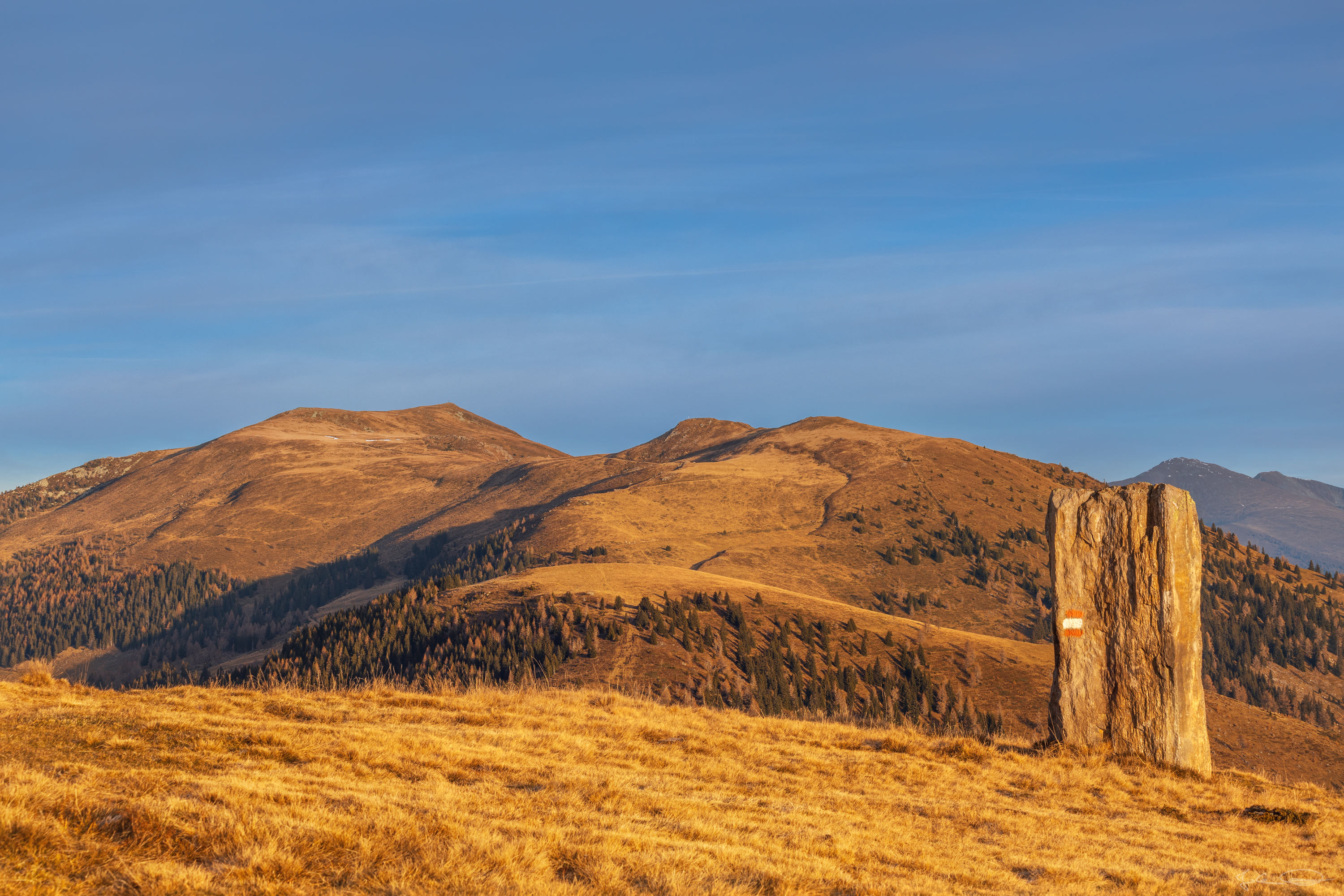
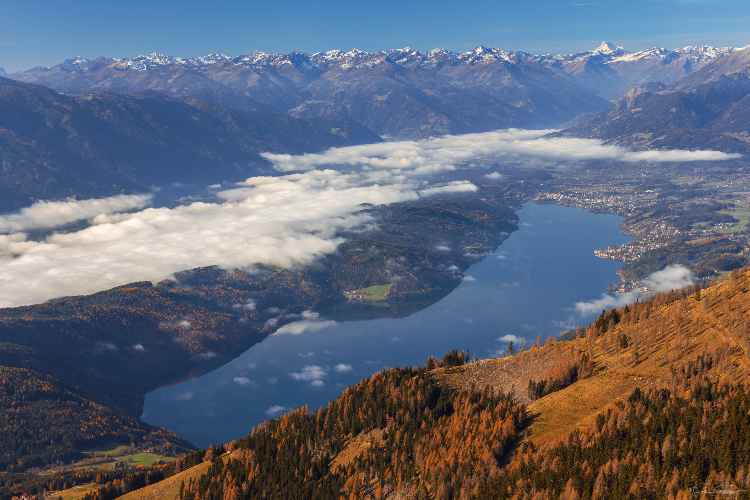
The Rindernock is the peak on the right edge of the photos below and the Mirnock is the other peak you can see to the left.
 ❖ please click the image for fullsize view ❖ | 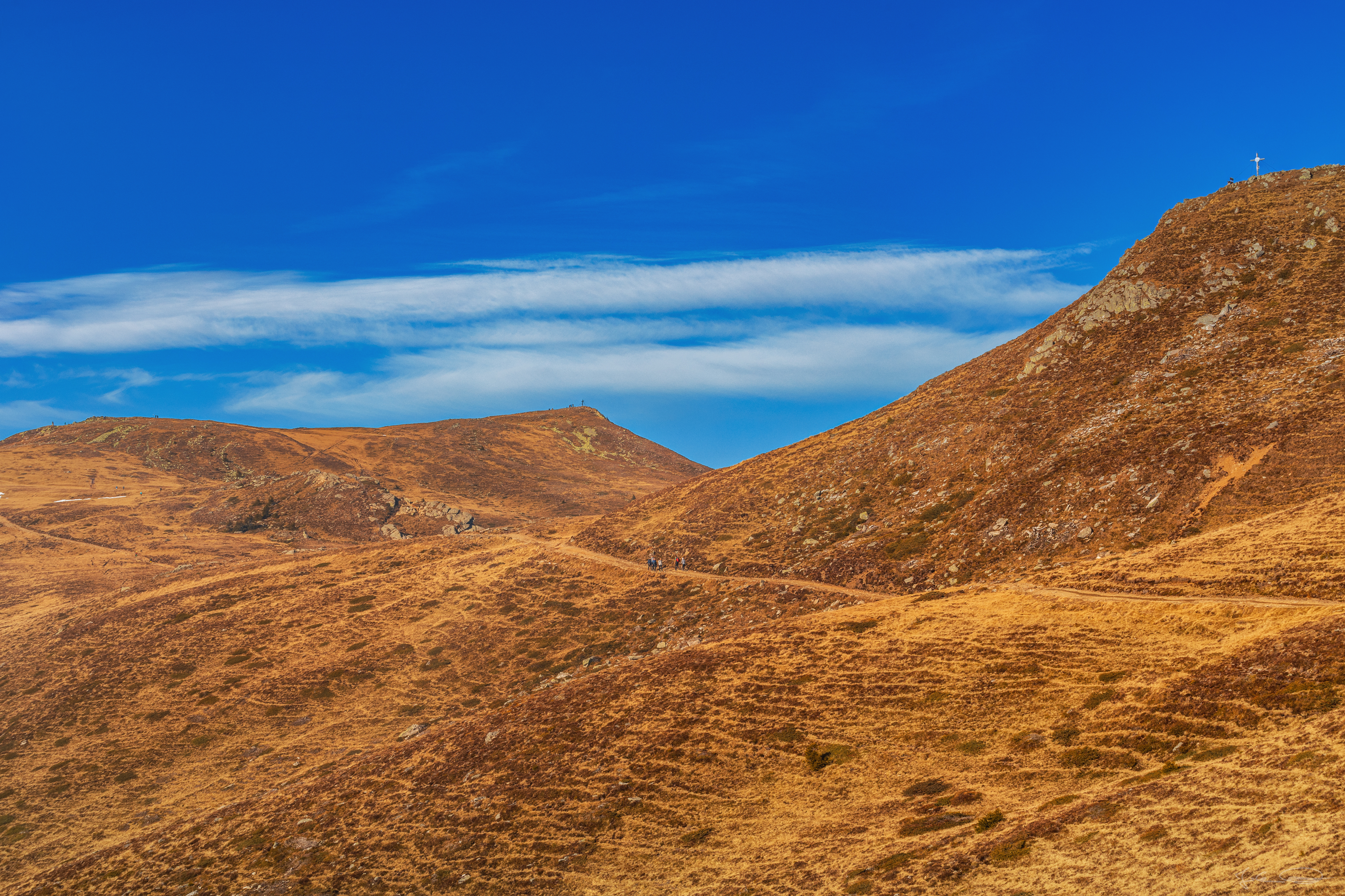 ❖ please click the image for fullsize view ❖ |
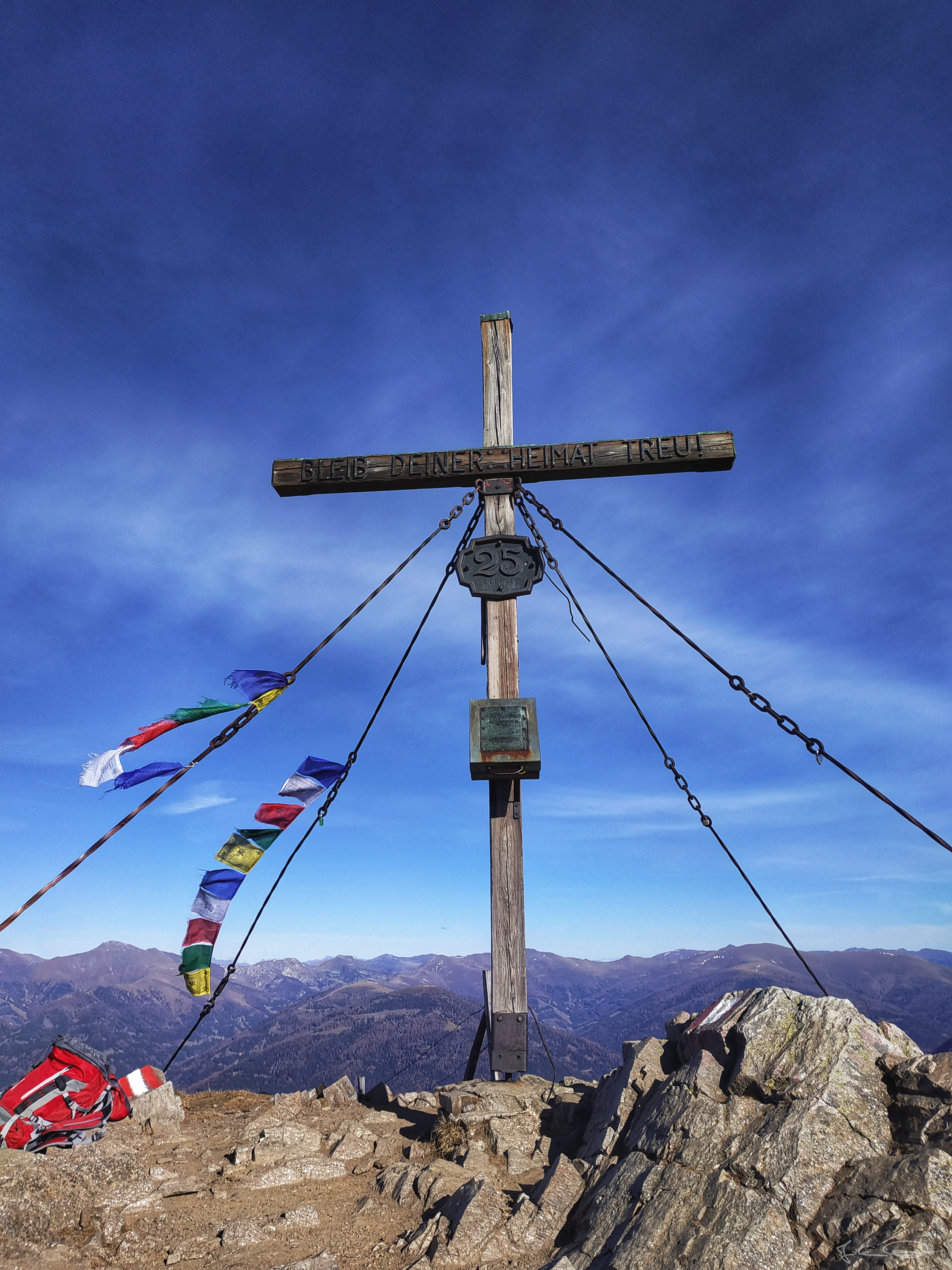
These photos show the summit cross on the Rindernock peak. Please don't ask me why there's the number 2015 and a goat on the cross. The number might mean the year when they have built the cross, but Rind means cattle or cow in German, so I have no idea why there's a goat ;)
 ❖ please click the image for fullsize view ❖ | 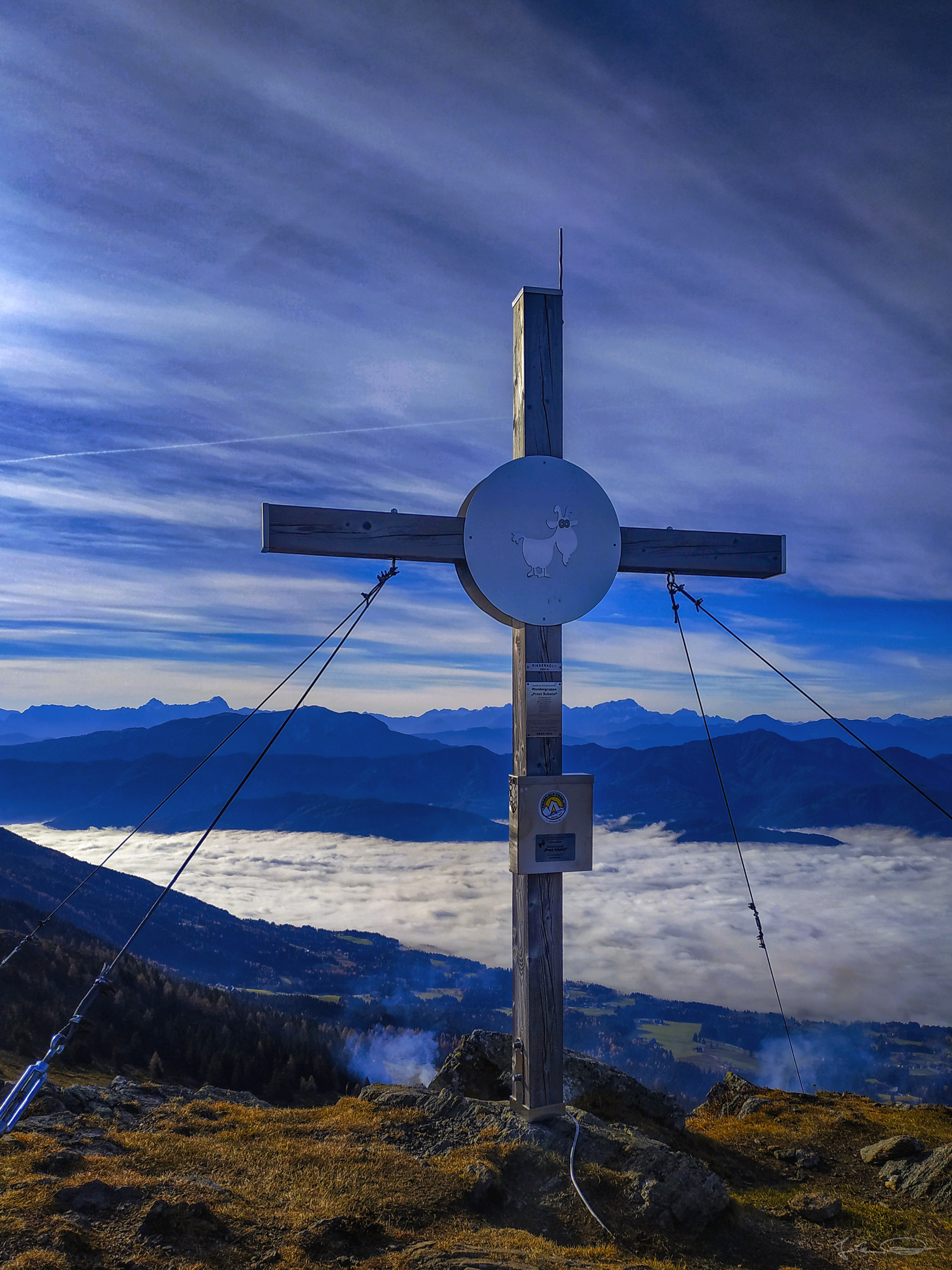 ❖ please click the image for fullsize view ❖ |
I can imagine that in Summer this would be a great place to have a relaxing afternoon at this pond or even go for a swim, but when I was there there it had ice on the water.
 ❖ please click the image for fullsize view ❖ |
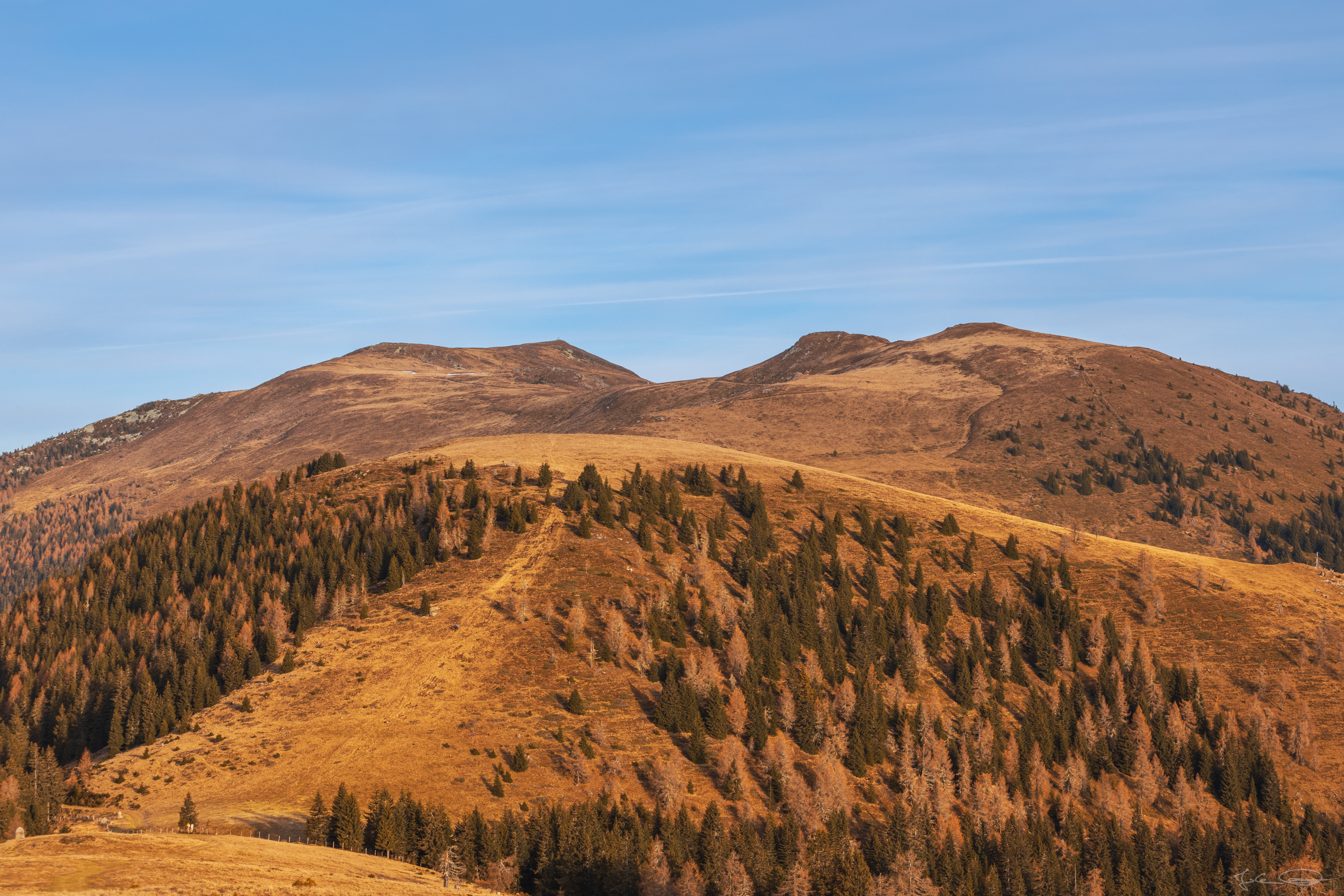
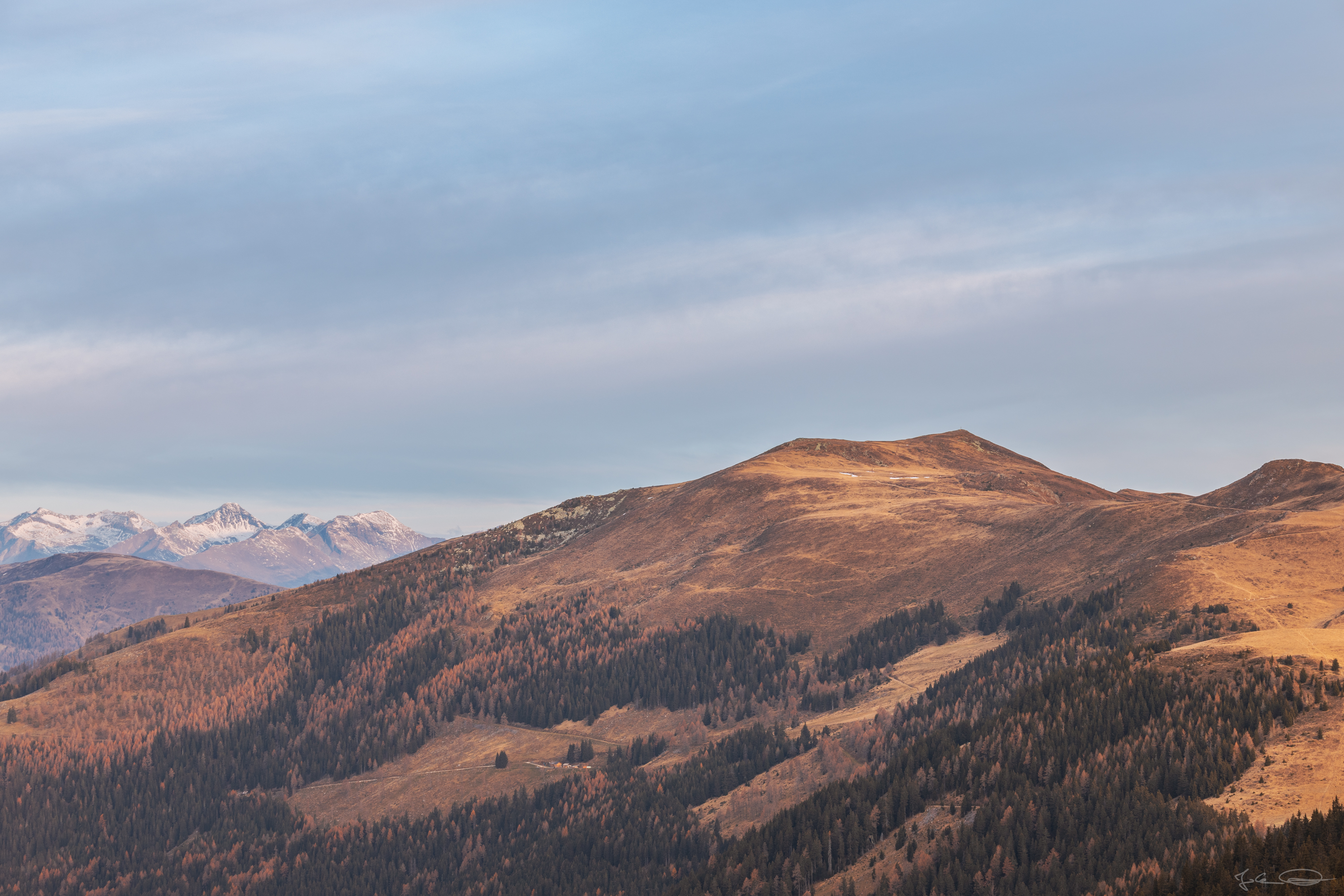
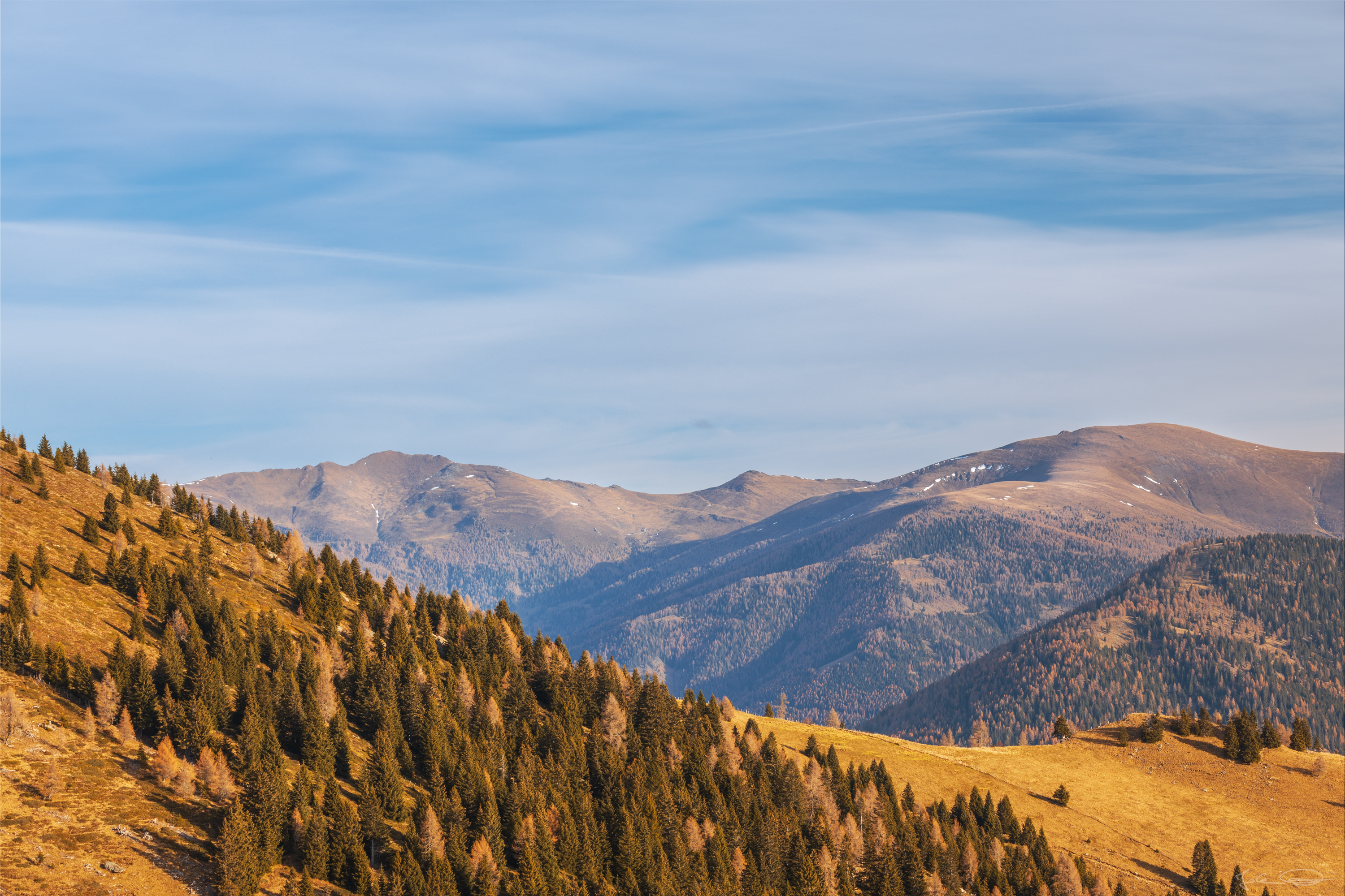
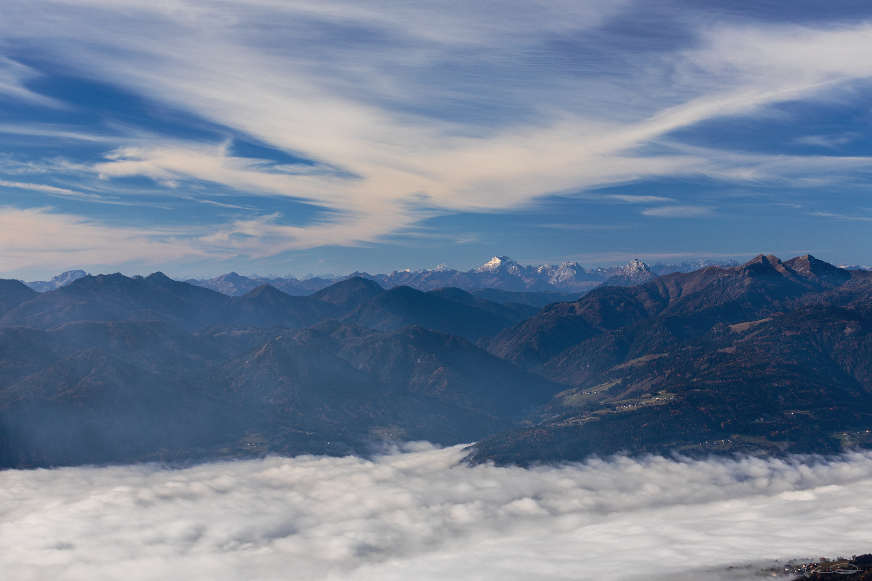
Amazing views over the fog covered valley to the south and to the snow capped mountains in the west. Every single step I made showed me different and better views of our beautiful country.
 ❖ please click the image for fullsize view ❖ |
 ❖ please click the image for fullsize view ❖ |
 ❖ please click the image for fullsize view ❖ |
About half an hour later I was almost at my desired destination on the Mirnock mountain. Quite a few people, who have come there on other hiking paths, were making selfies at the summit cross, so I took a break a bit below the peak and waited till most were gone.
 ❖ please click the image for fullsize view ❖ |
I didn't have much time at the cross, because right after I had taken a photo of a couple in front of the summit cross on their phone and after I had taken a photo of the cross with my phone for me, I saw crowds of hikers hiking towards the peak from almost all directions.
 ❖ please click the image for fullsize view ❖ |
So I decided to walk back down to the place I have been before and take a time lapse video of the disappearing fog over the Lake Millstatt (Millstätter See). I started the time lapse too late, because a few minutes before, the whole area has been covered by fog.
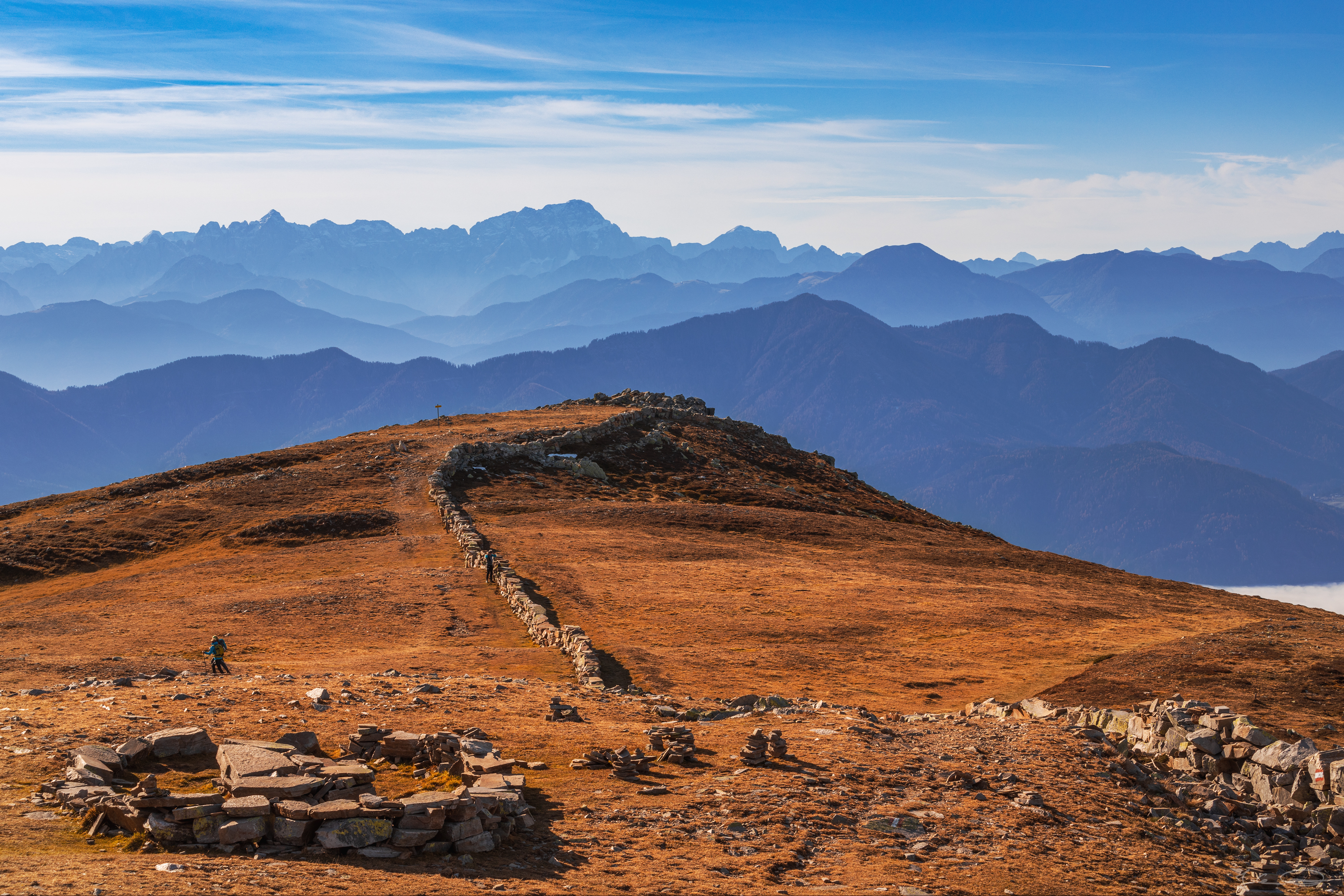
This place where I have been out of the way of the crowds is at the rocks at the end of the stone wall in the photo below.
 ❖ please click the image for fullsize view ❖ |
The Lake Millstatt after almost all fog has disappeared. To the left of the lake there's the Drautal Valley, which is still covered by the fog behind a wooded range of hills.
 ❖ please click the image for fullsize view ❖ |
After the time lapse video and a few photos more I made my way back to where I have come from in the morning. It was easier to hike, because now I didn't have to climb the steep slopes up, but hiking downwards is something my knees don't really like, but I was lucky and they didn't moan too much ;)
 ❖ please click the image for fullsize view ❖ |  ❖ please click the image for fullsize view ❖ |
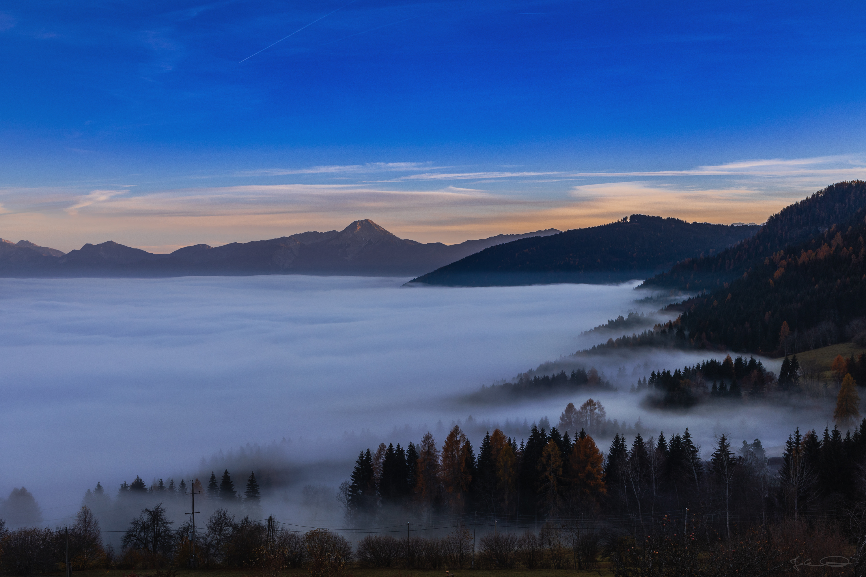
It wasn't that late when I came back to my car at about 4:00pm, but the sun was already setting behind the mountains and colorized the sky and clouds a little bit. The fog from the morning was still covering the valley.
 ❖ please click the image for fullsize view ❖ |
So, that's all for today - I had a hike from before the sunrise till almost sunset, and to be honest, it was exhausting.
This hike has showed me that I'm not in the good condition as I had thought I was ;) but the good time and the views I have had, have been worth every single step of the about 22 kilometers (13.7 miles).
I have made a few more photos and there's also the timelapse video I mentioned above. Depending on my time I want to share these in my next post which will probably be tomorrow or on Saturday.
Information
| Location: Mirnock Peak on Google Maps |
All photos were shot with the Canon EOS R and one of these lenses: Canon RF 24-105mm f/4 L IS USM or the Canon EF 70-200mm f/4 L IS II USM. I have also shot a few photos with my smartphone, the Xiaomi Redmi Note 5. I leave all EXIF and IPTC information stored in the pictures. |
If you like my work I would appreciate an upvote, nice comment or maybe you want to share my post on your blog 😊 ... and maybe you would like to follow me, so that you never miss a post from me.
Thank you so much for visiting my blog,
have a nice evening and a wonderful weekend, ![]()
Photos and Text: @johannpiber | Johann Piber | All rights reserved - do not use without my permission

It says "Thank you for partnering with the Papillon Foundation by participating in the Weekly Hive Charity Giveaway.".
If you like this badge and if you want to help too, you can learn more about 
 |  |  |  |  |  |  |
[//]:# (!pinmapple 46.758193 lat 13.714627 long 20201120-Mirnock d3scr)
#hive5 from Austria 🖐️