Lets take the Red Trail up the east side of the Main pond and Connetquot River.

Lot of different trail markers here but red should be easy to handle.


The trail starts going over the river at the mill house. This was the original trail the Native Indians took because it was the easiest and narrowest place to cross the river. Early settlers widen the Indian trail and called it South Country Road. It eventually was named Montauk Highway.
Today Montauk Highway is just further south, alongside four lane Sunrise Highway.


Presidents Washington, Jefferson and Madison before he was president crossed this very spot on visits to Long Island after the Revolutionary War.
This would probably be one of the only places they could recognize.

Path crosses another fairly large outlet from the main pond.

On the east side looking toward the Main and New Annex Houses.


Pond tapers down to where the river flows in. Small dock provides a view.

Looking back towards the pond.

Looking the other way towards the river.
![DSCN2013.JPG]
(
Trail goes inland for a nice ways, then you can access the river on a trail just for trout fishermen. I ignore the sign "for anglers only" to check out the river.


There was a man and woman fishing. I said hello and asked if I could take their picture. No problem.

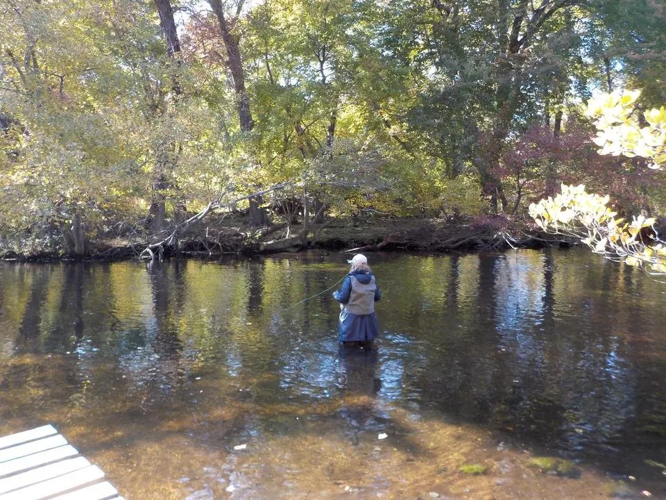

The path along the river was muddy going onward so I decide my exploring was done.

Info from NYS pamphlet
