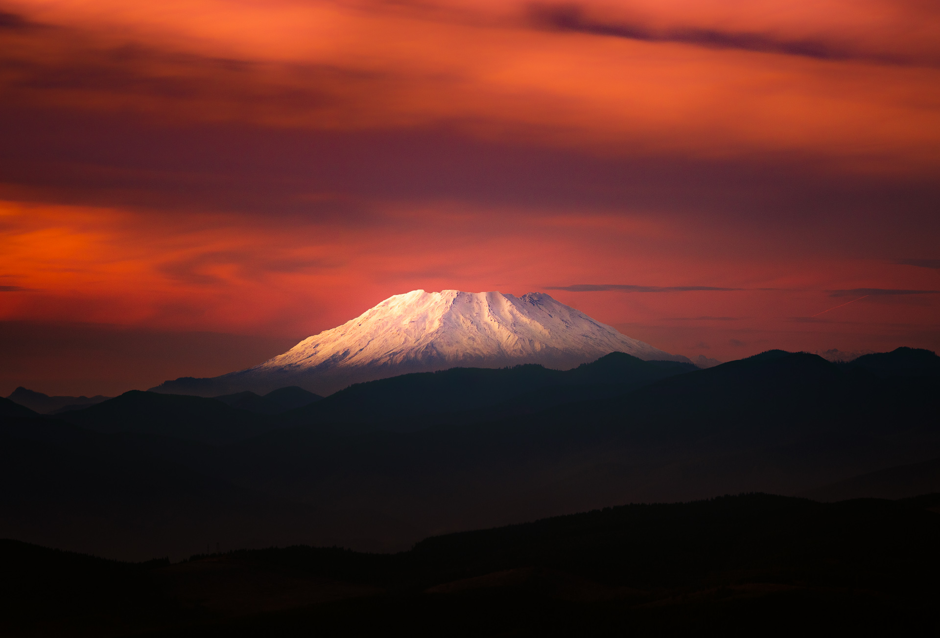
Mount St. Helens (or what is left of it)
My photo of the cone, from 45 miles away at the Larch Mountain viewpoint on the Oregon side of the Columbia River.
It's crazy to think that before 1980, Saint Helens had a proper mountain shape, similar to its neighbour to the east, Mt. Adams. Tragically, fifty-seven people died in the eruption and landslide that changed the skyline and the landscape and devastated the surrounded area (the below picture shows what happened to Spirit Lake). The destruction is unimaginable - these natural disasters so rarely happen in my part of the world that it's a shock to know that they can. For comparison, the last significant volcanic event in Canada was 300 years ago.
Img src: USGS, found on PBS
I would love to hear stories from anyone who was in the area around the time of the eruption, or has heard a firsthand account from others who were.
What was the feeling in the days leading up to the eruption? I hear that there was a significant bulge in the mountain, prior to the earthquake that triggered the blow, but it seems that things happened more quickly and with greater devastation than anyone predicted. :(