Boundary County, Idaho
It might be one of the best places on earth.


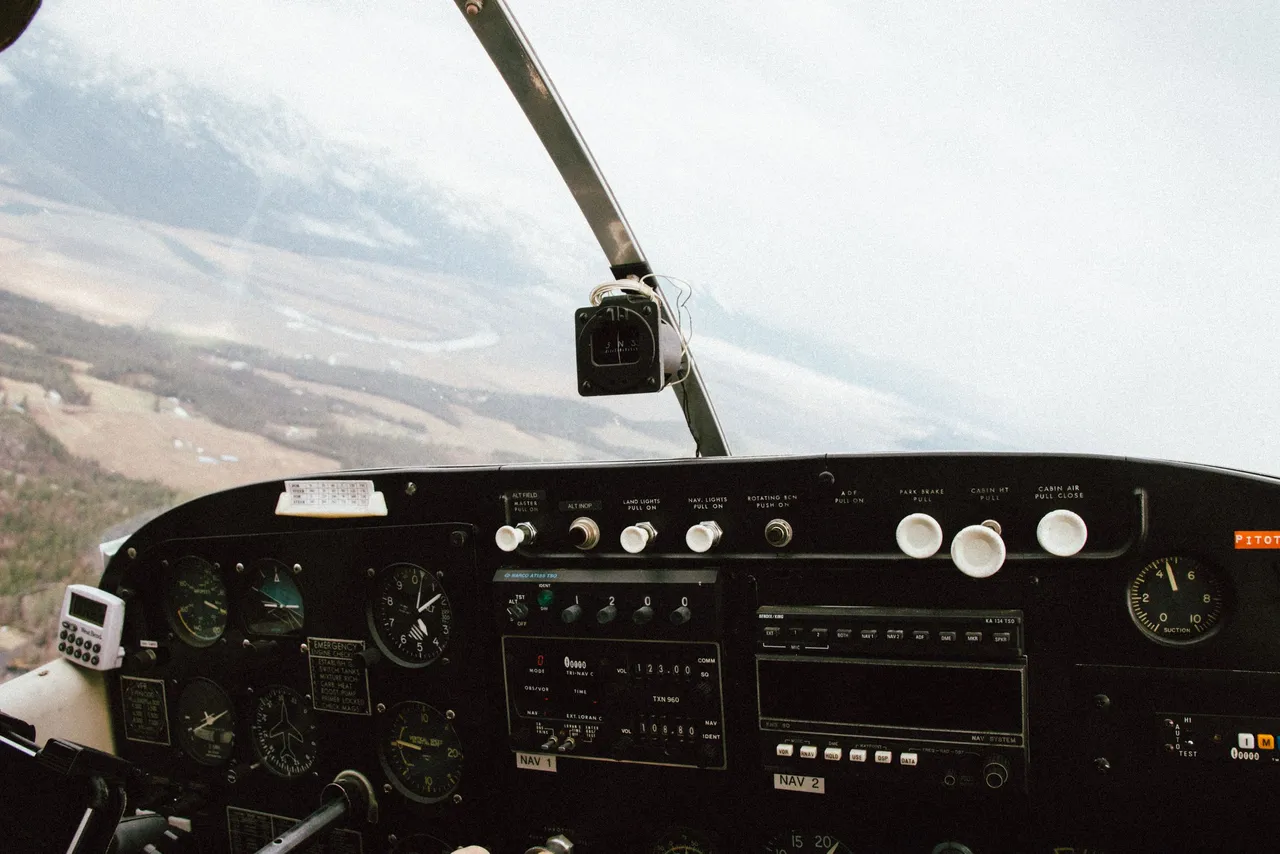
Pilot
Zach recently earned his flight credentials and does in excellent job. He loves flying and routinely gets to see North Idaho from the air. I liked seeing how he uses the GPS on his tablet to help navigate and follow flight plans.


Brush Lake
On March 31st, most of Brush Lake was still covered with a layer of ice. As we passed the lake, banking to head south, we ran through just a few small bumps. Other than that, the flight was completely smooth.

Passengers
My lovely wife had the backseat to herself as she listened to Zach and I talk through the radios. She enjoyed exploring some old stomping grounds from the air, and Instagramming the scenery below.


Wildlife
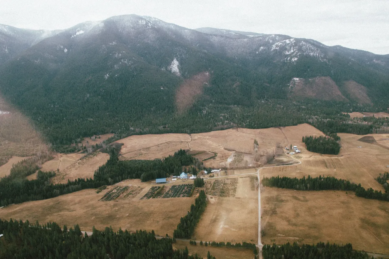
We tried to find some elk in this stand of trees. All we found, were deer scattered on the edge of the fields and in a few of the logged areas.


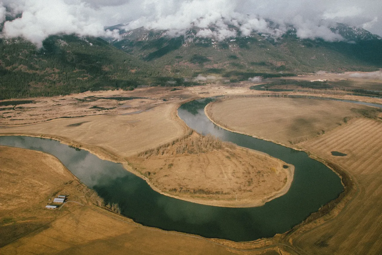
The Kootenai River
The Kootenai River, historically known as the Flatbow, is a major river in Southeastern British Columbia and northern Idaho and Montana. It is a major tributary of the Columbia River which flows southwest until it empties into the Pacific Ocean. Historically, the Kootenai (Ktunaxa) tribe lived along it’s banks and used it for hunting and fishing as they lived there for hundreds of years, isolated from neighboring native groups. More recently, dams were built on the Kootenai in the 20th century to generate power and control flood and drought risks. Pictured here, just north of Bonners Ferry, the current slows considerably as it turns and heads north up the Kootenai Valley toward British Columbia.


These photos were originally posted on Exposure