
Long Island Dry All Week Slow Trend To Colder Temperatures

(Unsupported https://anchor.fm/joe-cioffi/embed)


Tonight we move to clearing skies and temperatures bottoming Monday morning in the low 30s. Monday sees sun and clouds with highs in the lower 40s. The stair step decline continues for Tuesday though we will have some sunshine. Highs will be close to 40 and by Wednesday morning we will start to see lows in the 20s. Low to mid 30s for highs will be the rule Wednesday through Friday with lows at night in the teens to lower 20s. Each day should feature some sunshine. It is a quiet week ahead for the middle of January.
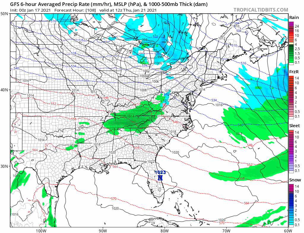
Thanks to the strong blocking signature in the Atlantic, weather systems are weak and getting suppressed to the south. You can see one such system passing well south late this week. There is another system behind this that stands a better chance of heading our way early next week (week of Jan 25th) and we will start taking a closer look at this in the coming days.
Please note that with regards to any severe weather, tropical storms, or hurricanes, should a storm be threatening, please consult your local National Weather Service office or your local government officials about what action you should be taking to protect life and property.
Posted from my blog with SteemPress : https://www.weatherlongisland.com/long-island-dry-all-week-slow-trend-to-colder-temperatures/