Good Day. This is my new icon design for Maps & GPS Navigation - Osmand.

DESCRIPTION
OsmAnd is an offline navigation application with access to the free, worldwide, and high-quality offline maps.
Enjoy voice and visual offline navigation, viewing points of interest, creating and managing GPX tracks, using contour lines visualization and altitude info (through plugin), a choice between car navigation, cycle navigation or directions in the pedestrian mode, OSM editing and much more.
Source
DESIGN CONCEPT

BLACK ON WHITE AND WHITE ON BLACK LOGO VERSION

COLOR VARIATIONS

COMPARISON OF ORIGINAL ICON VS MY DESIGN

Source of photo: Smart Phone

ICON SIZES
-192px
-144px


GITHUB REPOSITORY
LINK

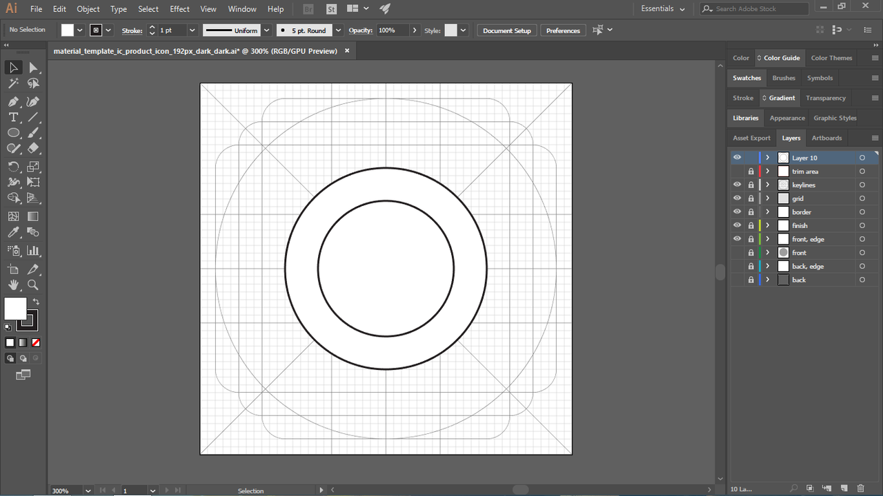
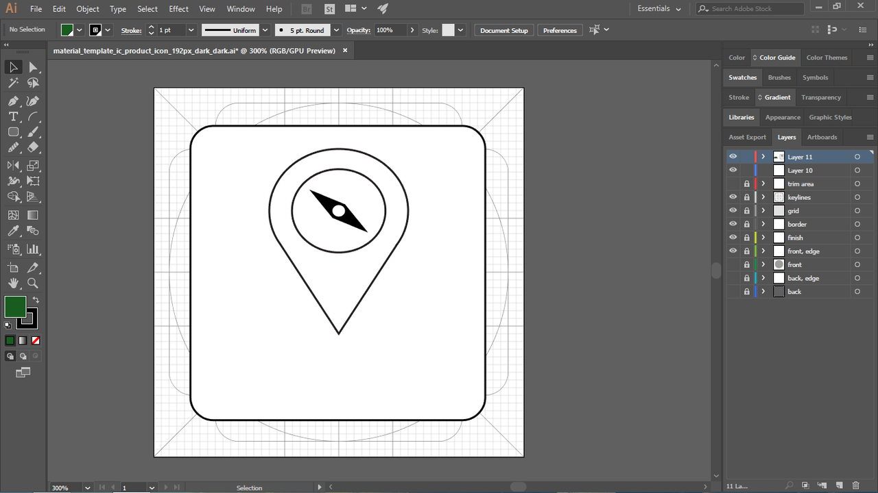
PROOF OF WORK


BENEFITS/IMPROVEMENT
My design is an improvement of the existing logo. The new logo itself shows what this app can do and base on it's name. I mix the GPS Icon to the Compass to represent GPS Navigation and then put it over the map. A simple design but better than the existing.
TOOLS
I used Adobe Illustrator CC 2017 in designing this new proposed icon and Microsoft PowerPoint for the presentation.
ORIGINAL FILES
You can download all the files i used in the link below.
Original Files
Posted on Utopian.io - Rewarding Open Source Contributors