Here is a collection of photos I took while having some idle time in the town of Larvik Saturday.
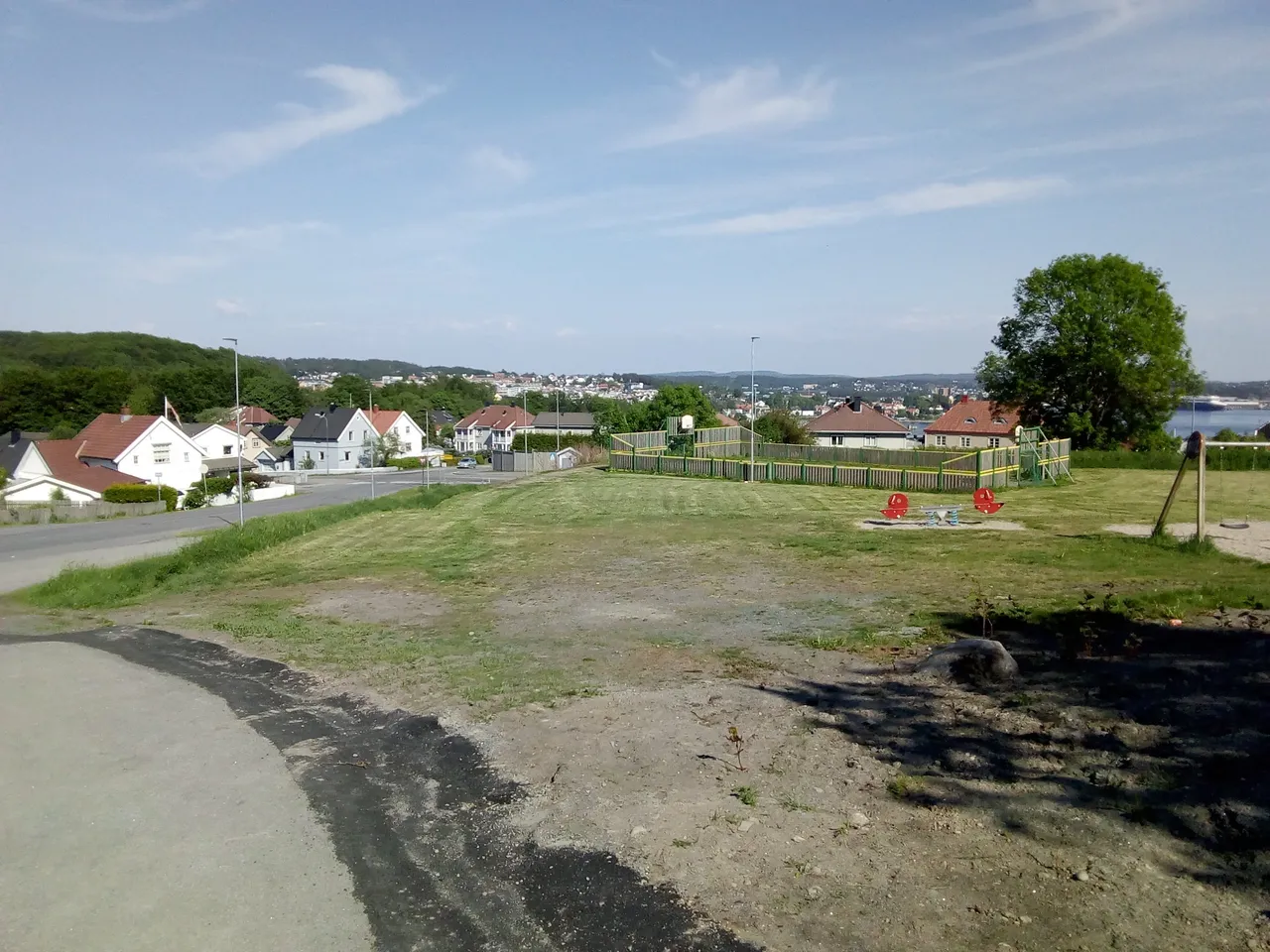
First, Larvik from a residental area up in the hills - the industrial harbour behind:

Old industry buildings further below.
From a maritime point of view, Larvik seems like an unlikely place to put a town; it's not a very good natural harbour, the bay is open towards Skagerak, with the "wrong" wind conditions I suppose it may be quite much waves in the bay. So what's the deal with Larvik - like, what's the historical reasons for developing a town right at this location?
I could find three:
One of the biggest rivers in Norway has its outlet in Larvik - it probably allows for a sheltered harbour, and the present industrial harbour is located in the area around the river mouth - but the town is not centered around the big river.
The town is located at the top of a moraine - this moraine has traditionally (and even in present day) been used for land-transport (roads, rail roads). The Farris fresh water lake is very long and very deep - and would have been a part of the Oslo fjord if it wasn't for the moraine. This means all land transport had to pass through Larvik or deep inland - hence from a military point of view, the town had been a strategic choke-point and from a commercial point of view it has been a natural place for offering services for land transport.
Hydro power - there is a smaller river going from the Farris lake and down to the fjord, the height difference is significant and the lake is quite big, hence it's possible to harness the power. Larvik has been an important industrial site due to the hydro power.
I eventually spent some time at the Fritzøe verft, an industrial area where the hydro power has been utilized. Most of the river is dry, and the river water is transported through a pipe. There is also the Larvik Museum in the same area, but I did not visit the museum today.
Here is the small river from Farris, strong and with water, running some few hundred metres before it meets the sea.

At the other side of the bridge there is not much water at all in the river. Notice the river bed - it's clearly constructed, I wonder why. Behind is the water tube and the railroad.

Parts of the river water comes out from under this building after being transported in a pipe. It's a cultural school today - does that mean the power from the water is not utilized anymore?

Other part seems to come up here - I suppose this concrete structure down there is a tunnel for the water from the hydro plant.

Here is the hydro power plant building. This building is also used for non-industrial purposes today.

The water tube goes into this building

Some of the water flow is under here. Note that it's protected by three fences, maybe for avoiding people from jumping into the strong water flow?


I believe this is some kind of a pressure tank, to keep the pressure stable (railroad line in front of it)

The tube is leaking, several places


With the tubes leaking, I'm wondering if it's really safe to stay in this area. Perhaps at one point, the pipes will burst open? Oh, here is even a warning sign ...

Some sections of the tube seems to be wooden

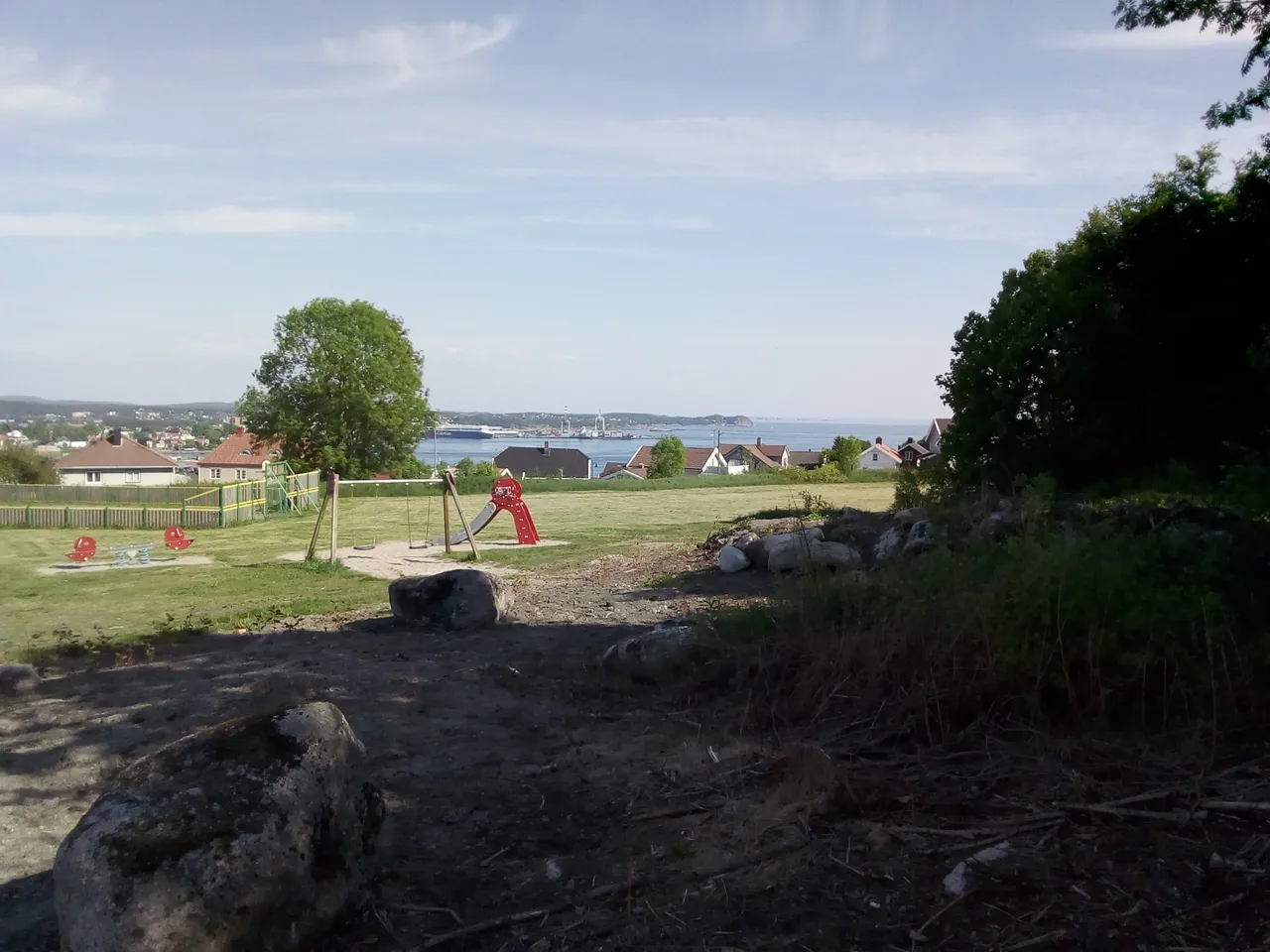
Some random photos from the area


This kind of construction is not so common in Norway, more common in Denmark I think.

Climbing the hills. Fast ferry to Denmark in the background

I didn't get to see much of the Farris lake. There are some few pixels of blue to the left of the house with many windows, that's Farris.

The region gets most of its drinking water from the Farris lake, and it's also bottled - "Farris" is also the brand name for the most famous bottled sparkling water in Norway.
(Previous weekend we went out sailing - and instead of doing a round-trip we decided to just leave the boat by anchor and go home for the week. I returned this weekend, did some varnishing and other work on the boat. I came by public transport, had a ~30 minutes wait in the town of Larvik Saturday, but I managed to miss the bus stop, so I got ~1 hour extra. That's why I had time for doing this sighseeing).
All photos available in better resolution on IPFS QmYyV5uCNxRxFigVHJfhjQ3jcUcpAQgVNzQLDRa5FgciDa. License: CC BY-SA 4.0